Hunters Hut
Standard hutHarihari area, West CoastOpen
- Sleeps
- 6 bunks
- Booking
- Not bookable
- Cost
- from $15
- Heating
- Yes
- Drinking water
- Boil first
- Toilet
- Non-flush
Getting there
We have not checked a road end or car park for this place yet, so we do not give driving directions to it. Check how to get there before you go. Some routes cross private land and need the landowner's permission.
How to get there, on doc.govt.nz- Topo map
- Topo50 sheet BR25
Source: DOC Te Papa Atawhai.
Map and tracks
Track lines: DOC Te Papa Atawhai. Map data © OpenStreetMap contributors. Topo map: LINZ, CC BY 4.0. 43.22648° S, 170.75187° E

About this place
This is a standard six-bunk hut in the Glaciers area.
On the way here
Wanganui valley tracks · 3 days +
Road end – Hunters Hut
Time: 5 hr
The track begins by crossing a couple of paddocks and joining the access road to the rock quarry. The track climbs up the quarry before dropping back down to a terrace. After travelling through a section of gorse and scrub, and a rocky beach, the track enters a bush section that carries through to Shearers Flat. From this point follow the riverbed up to Hendes Creek. A three-wire bridge across Hendes Creek was built in 2013. From here the track heads up to Mystie Flat, before another riverbed section. The track crosses a small flat, before entering the bush again. After Steep Creek, riverbed and flats are crossed before the track climbs up and over Annoyance Bluff. From here up to the cableway across the Wanganui River, the track traverses Jones Flat. Ensure that you follow the operating instructions on the cableway as improper use could cause injury. Once across the cableway, an easy 10 min walk downstream on the true left bank takes you to Hunters Hut (six bunks). See guidance on using the cableway under 'Know before you go'.
Lambert Tops Route
Time: 4 hr to bush edge from Hunters Hut
The route to the Lambert Tops was re-opened in 2008 and is now maintained. Follow the Gorge Track from Hunters Hut to the Lambert River. The Lambert River bridge was destroyed in 2018. Crossing on foot may be possible in low conditions. Do not attempt to cross if you are inexperienced or when the river is high. Follow the track to the sign-posted junction before turning left and climbing steeply up a ridgeline, following a spur that runs alongside Lambert Gorge. The route provides access into the Adams Wilderness Area and numerous hard mountaineering trips are possible. The marked route ends at the two yellow and orange deer posts. Travel beyond this point is suitable only for those experienced in alpine travel.
Blue Lookout Route
Time: 3 hr 30 min to bush edge from Hunters Hut
The route to Blue Lookout was re-opened in 2008 and is now maintained. From Hunters Hut follow the track towards the Lambert River. The route to Blue Lookout is sign-posted at Benighted Creek. Follow the creek upstream for approximately 500 m and look for the orange marker on the true left of the creek. The route heads steeply up through stunted forest, before opening out to subalpine scrub and huge rock slabs. This route also provides access into the Adams Wilderness Area. The marked route ends at the two yellow and orange deer posts. Travel beyond this point is suitable only for those experienced in alpine travel.
Hunters Hut – Smyth Hut tramping track
Time: 6 hr
The tramping track to Smyth Hut is on the true left of the Wanganui River. Access is difficult due to sustained flood damage. At Poker Bluff the track climbs high above the bluff before dropping steeply down in to the riverbed again further upstream. From here the track up to Devastation Creek follows the river edge all the way. There are sections of track over two small bluffs, and these are marked at each end by large orange markers. The last section of track starts just downstream of Devastation Creek. Cross the creek and follow the markers as a guide to meet up with the track upstream again. This area is quite changeable so take care and follow the markers. The track then climbs around steep bush hillsides and slips, and includes several short beach sections over huge boulders, which must be negotiated. Smyth Hut (six bunks) is perched on a terrace opposite the Smyth River. There is no longer a swing bridge across the Wanganui River. This was destroyed in 2013 and is unlikely to be replaced.
Red Hills Route · 3 days one way
Top Wairoa Hut to Hunters Hut
Time: 6 hr
km The track leaves Top Wairoa Hut and climbs through alpine vegetation up to Mt Ellis (1615 m). It’s a great place to stop for lunch, with 360-degree views overlooking Tasman Bay and the Red Hills. The track then descends to the left branch Motueka river. It follows the river, then crosses it (unbridged) and climbs to Hunters Hut.
Hunters Hut to Porters Creek Hut
Time: 3 hr
km The track leaves Hunters Hut and sidles in and out of several gullies, following the edge of the Red Hills ultramafic area before reaching Porters Creek Hut.
Source: DOC Te Papa Atawhai.
Trip options
Walking times come from DOC track descriptions, added up leg by leg from car-accessible trailheads. Nights and return times are ParkUp estimates, allowing about 8 hours of walking a day.
8 options · 1 to 3 nights
Road end
Walking in
5 hr
Walking out
5 hr to Road end
Walking in
5 hr
Walking out
6 hr to Smyth Hut tramping track
Tracks used: Red Hills Route → Wanganui valley tracks
Walking in
5 hr
Walking out
11 hr to SH63 (via Porters Creek Hut, Red Hills Hut)
Source: DOC Te Papa Atawhai track descriptions.
Fees and bookings
Before you go, buy Hut Tickets for each night's stay. Put these in the honesty box at the hut. Or buy a Backcountry Hut Pass that gives unlimited use at most Standard and Serviced huts for a 12 month period. Retailers that sell hut tickets and passes
Source: DOC Te Papa Atawhai.
On these tracks
Source: DOC Te Papa Atawhai.
Nearby stops

Abrahams Bay Hunters Hut
Basic/bivvies • 6 bunks • Southland • 465.9 km
Abrahams Bay Hunters Hut is a basic six-bunk hut located in the Stewart Island/Rakiura area of Southland.
Heating • Mattresses • Toilets - non-flush
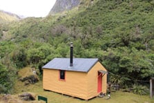
Smyth Hut
Standard • 6 bunks • West Coast • 8.1 km
Smyth Hut is a standard six-bunk hut located in the Glaciers area of the West Coast.
Heating • Mattresses • Toilets - non-flush
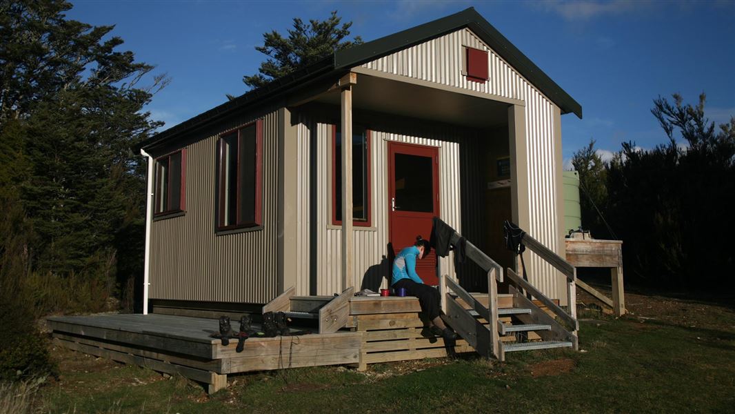
Red Hills Hut
Standard • 6 bunks • Marlborough • 247.7 km
Red Hills Hut is a standard 6-bunk hut located in the Nelson Lakes area.
Mattresses • Toilets - non-flush • Water from tap - not treated, boil before use
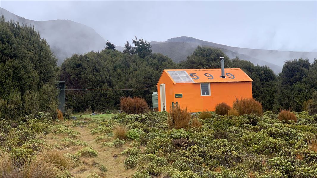
Porters Creek Hut
Standard • 6 bunks • Tasman • 254 km
Porters Creek Hut is a standard six-bunk hut located in the Motueka area of the Tasman region.
Heating • Mattresses • Toilets - non-flush
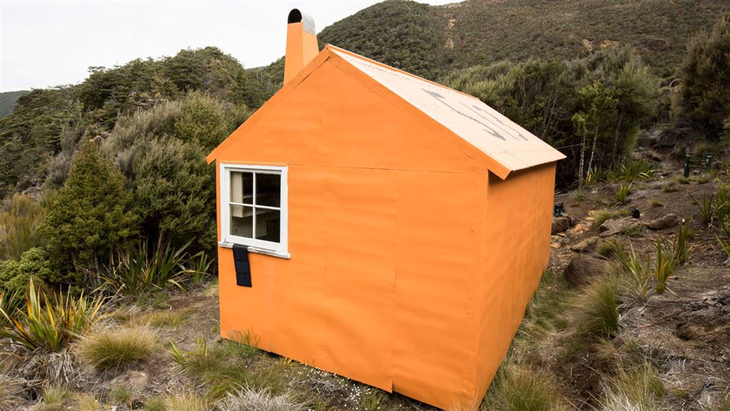
Top Wairoa Hut
Standard • 6 bunks • Tasman • 261.9 km
Top Wairoa Hut is a standard six-bunk hut located in the Motueka area of the Tasman region.
Heating • Mattresses • Toilets - non-flush
Contact
Westland Tai Poutini National Park Visitor Centre
69 Cron Street, Franz Josef Glacier 7856
Regional DOC service centre.
Notes from people who have been
No notes yet. If you have been, say what you found.
Something missing or out of date?
Closed, moved, wrong facts, or something we have missed? Travellers keep the Road Guide up to date. Tell us what you found at contribute@parkup.nz and we will check it and add it.
Ask us to take this down
A person reads every request. We do not remove a place until we have checked it.
Sources
- DOC Huts (API) · CC BY 4.0Crown Copyright: Department of Conservation Te Papa Atawhai. Data sourced from the DOC Developer Portal (api.doc.govt.nz).
- DOC Huts · CC BY 4.0Data sourced from the Department of Conservation (DOC), New Zealand.
- OpenStreetMap Huts · ODbL (Open Database License)Contains information from OpenStreetMap, made available under the ODbL.