Hinau Track
WalkCanterburyOpen
- Grade
- Easy
- Walking time
- 45 min
- Distance
- 808 m
- Dogs
- DOC permit only
Getting there
We have not checked a road end or car park for this place yet, so we do not give driving directions to it. Check how to get there before you go. Some routes cross private land and need the landowner's permission.
How to get there, on doc.govt.nzKaikōura is on State Highway 1 along the South Island east coast. It is 154 km south of Picton and 183 km north of Christchurch. Regular bus and train services pass through the town.
Mt Fyffe carpark is about 15 km from town via Ludstone, Swamp and finally Postman's Roads. To get to Fyffe-Palmer Scenic Reserve drive out of town on Ludstone Road; turn right onto Mt Fyffe Road and follow it to its end. The Hapuku road end is 3 km along Parson's Road which leaves State Highway 1, 10 km north of town. An on-demand shuttle service is available to these places.
Source: DOC Te Papa Atawhai.
Map
Map data © OpenStreetMap contributors. Topo map: LINZ, CC BY 4.0. 42.34946° S, 173.56742° E
Got a good photo of this place? Send it to us and we will show it with your name.
About this place
This family-friendly loop track passes through an unusual forest with a number of hīnau trees.
The route
Hinau Track starts at the Mt Fyffe carpark. It is a 45-minute loop through an unusual forest with a number of large hīnau trees. There are also many māhoe, putaputawētā, broadleaf, tree fuchsia and pigeonwood. For a contrast in vegetation the track passes through a stand of kānuka. The track is well formed and suitable for families. However, there is an unbridged stream which in normal conditions is easy to navigate.
Source: DOC Te Papa Atawhai.
Know before you go
Stay safe when crossing rivers and streams
If you plan to cross unbridged rivers or side streams, know how to cross safely and be prepared for if you cannot cross. Do not cross if the river or stream is flooded, you cannot find safe entry and exit points or are unsure it’s safe. Turn back or wait for the river to drop. If in doubt, stay out. How to cross rivers safely NIWA river flow forecasts: View a video of national followed by regional river flows
Source: DOC Te Papa Atawhai.
Nearby stops
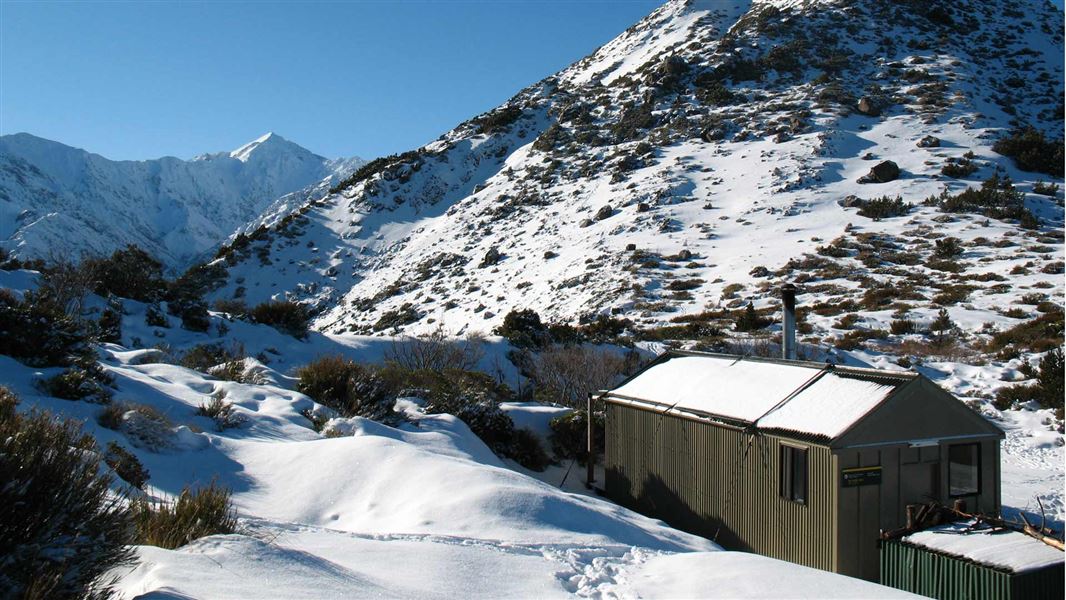
Mt Fyffe Hut
Standard • 8 bunks • Canterbury • 3.5 km
Mt Fyffe Hut is a standard 8-bunk hut located in the South Marlborough area.
Heating • Mattresses • Toilets - non-flush
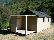
Kowhai Hut
Standard • 6 bunks • Canterbury • 6.1 km
Kowhai Hut is a standard six-bunk hut located in the South Marlborough area.
Heating • Mattresses • Toilets - non-flush
Kaikoura
Canterbury • 7.5 km
Kaikoura Peketa Beach Holiday Park
Canterbury • 9.2 km
Kaikoura Peketa Beach Holiday Park is a campsite located in the Canterbury region. It is situated near the coastal town of Kaikoura.
Kaikoura KiwiCamp
Canterbury • 10.2 km
Kaikoura KiwiCamp is a campsite located in the Canterbury region of New Zealand. It provides a place to stay for visitors exploring the Kaikoura area.
Walks nearby
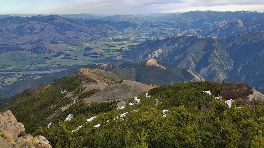

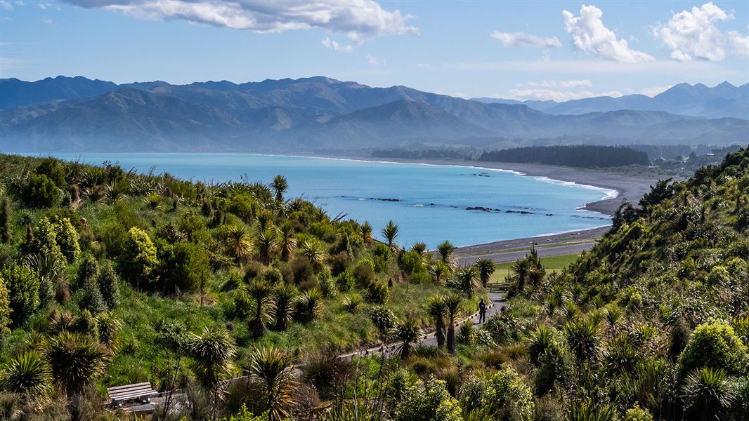
Notes from people who have been
No notes yet. If you have been, say what you found.
Something missing or out of date?
Closed, moved, wrong facts, or something we have missed? Travellers keep the Road Guide up to date. Tell us what you found at contribute@parkup.nz and we will check it and add it.
Ask us to take this down
A person reads every request. We do not remove a place until we have checked it.
Sources
- DOC Tracks & Trails · CC BY 4.0Data sourced from the Department of Conservation (DOC), New Zealand.
- DOC Tracks (API) · CC BY 4.0Crown Copyright: Department of Conservation Te Papa Atawhai. Data sourced from the DOC Developer Portal (api.doc.govt.nz).