Hāpūpū/J.M. Barker Historic Reserve Walk
WalkOpen
- Grade
- Easy
- Walking time
- 20 min
- Dogs
- No dogs
Getting there
We have not checked a road end or car park for this place yet, so we do not give driving directions to it. Check how to get there before you go. Some routes cross private land and need the landowner's permission.
How to get there, on doc.govt.nzHead north from Waitangi on the North Road, turn right at the signposted turnoff 6 km from Kaingaroa. The reserve is at the end of the road adjacent to the old Hāpūpū airstrip.
Source: DOC Te Papa Atawhai.
Map
Map data © OpenStreetMap contributors. Topo map: LINZ, CC BY 4.0. 43.79945° S, 176.35144° W
About this place
See Moriori rakau momori (tree carvings) on this bush walk.
The route
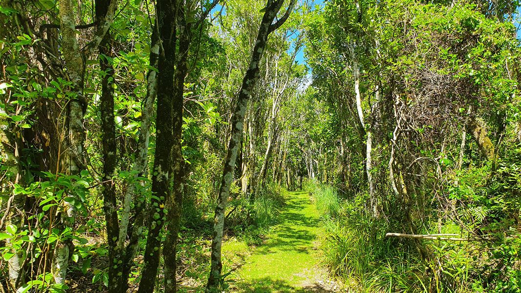
Hāpūpū protects Moriori rakau momori (tree carvings or dendroglyphs) and the kopi groves that were planted by Moriori. Walk through mature kopi forest with an understorey of mahoe saplings. In the first half of the bush walk, see the Rakau momori that have been carved on the trunks of many kopi trees. The walk continues through the kopi grove and heads out over the sand dunes to the beach along Hanson Bay.
Source: DOC Te Papa Atawhai.
Know before you go
How to visit
Visitors are limited to local whanau. Other visitors must book in with a guided tour with DOC-approved operators. The breakdown of the rakau momori has seen a limited number remaining in Hāpūpū. Support us by respecting this site and observing the following protocols: Stay on the tracks which are clearly marked – don’t go off the tracks Do not touch the trees – this will cause damage to the bark Stand 2 meters away from the trees to avoid standing on the tree roots. Respect the site as a culturally and historically significant place.
Beware of falling trees and branches
The track passes under trees which are at risk of falling or dropping branches. The risk is highest during strong wind. We recommend not visiting when there is strong wind and not lingering under dead or dying trees.
The track is uneven
There are many tree roots on the track, take care while walking through the reserve.
Tsunami risk
All of New Zealand’s coastline is at risk from tsunami. See a map of Chatham Island tsunami zones . Evacuate if you: feel a strong earthquake that makes it hard to stand up, or a weak rolling earthquake that lasts a minute or more see a sudden rise or fall in sea level hear loud and unusual noises from the see or if you receive an official warning of a tsunami that could flood land. See a map of the tsunami zones at Hāpūpū.
Source: DOC Te Papa Atawhai.
Notes from people who have been
No notes yet. If you have been, say what you found.
Something missing or out of date?
Closed, moved, wrong facts, or something we have missed? Travellers keep the Road Guide up to date. Tell us what you found at contribute@parkup.nz and we will check it and add it.
Ask us to take this down
A person reads every request. We do not remove a place until we have checked it.
Sources
- DOC Tracks & Trails · CC BY 4.0Data sourced from the Department of Conservation (DOC), New Zealand.
- DOC Tracks (API) · CC BY 4.0Crown Copyright: Department of Conservation Te Papa Atawhai. Data sourced from the DOC Developer Portal (api.doc.govt.nz).