Hakarimata Walkway
WalkWaikato
- Grade
- Advanced
- Walking time
- 7 hr 30 min
- Distance
- 12 km
- Dogs
- No dogs
Getting there
We have not checked a road end or car park for this place yet, so we do not give driving directions to it. Check how to get there before you go. Some routes cross private land and need the landowner's permission.
How to get there, on doc.govt.nzThe northern section starts from Parker Road, off Hakarimata Road, approx. 7 km south of Huntly and approx. 11 north of Ngāruawāhia.
The southern section starts from Waingaro Road, off Hakarimata Road, approx. 3 km south of Ngāruawāhia.
The track can also be accessed via the Hakarimata Summit Track. This track starts on Brownlee Avenue, off Hakarimata Road, approx. 1 km north of Ngāruawāhia.
Source: DOC Te Papa Atawhai.
Map and tracks
Track lines: DOC Te Papa Atawhai. Map data © OpenStreetMap contributors. Topo map: LINZ, CC BY 4.0. 37.61940° S, 175.15531° E
About this place
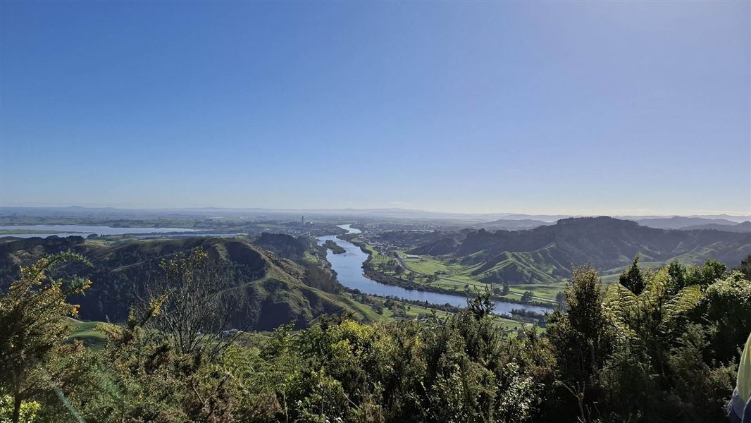
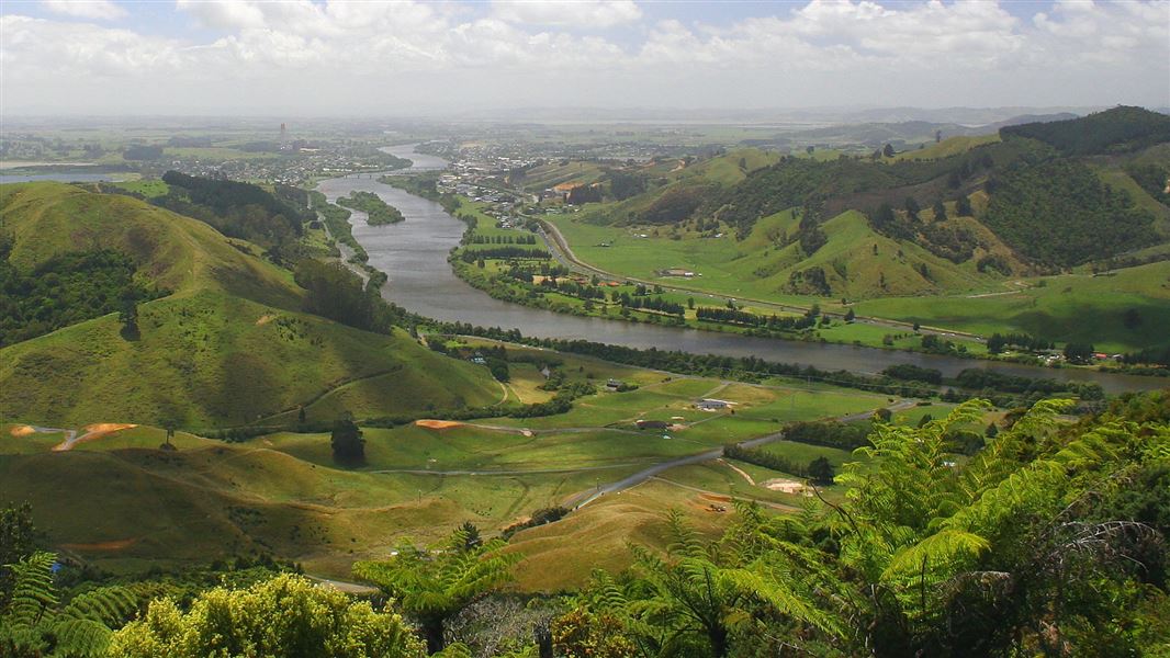
Walk the length of the Hakarimata Range and enjoy excellent views towards the coast and across the Waikato Basin. This track is part of Te Araroa Trail.
The route
This track is part of Te Araroa Trail .
Walking options
This is a one way track but it can be walked as return trips to the summit from either end. The track can also be accessed at the Hakarimata summit (374 m) via the Hakarimata Summit Track.
Southern section: Hakarimata Rail Trail to summit view tower
Time: 2 hr
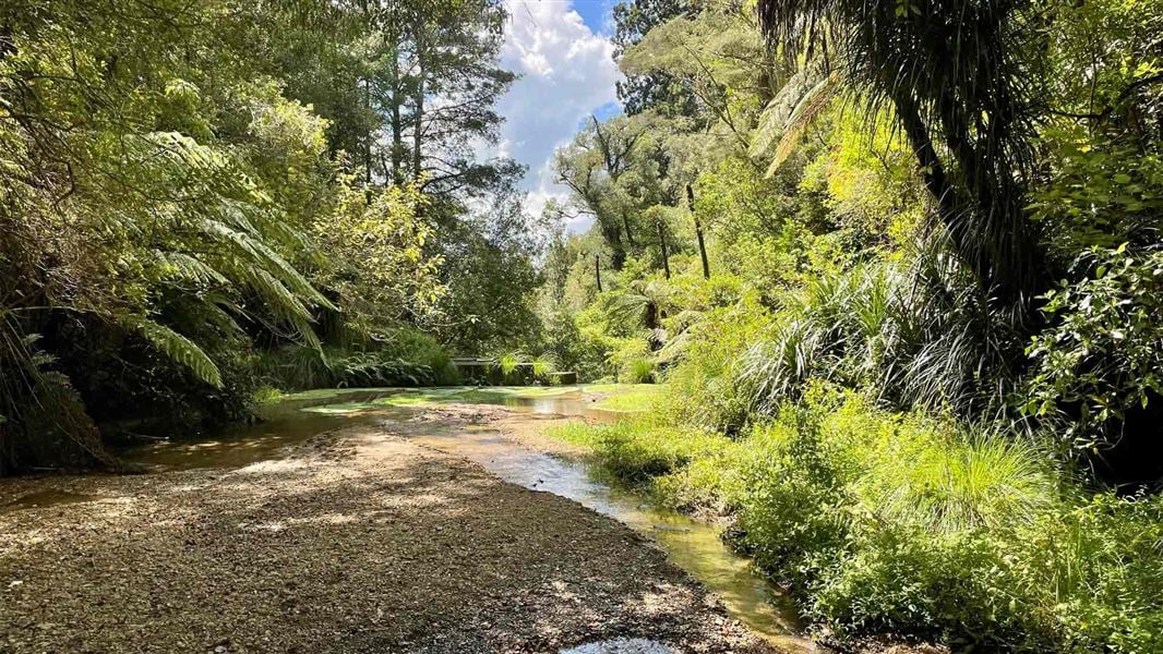
3.5 km Walk the Hakarimata Rail Trail to its end. From there, the track crosses a small stream on a long wooden bridge, and follow a stream up through attractive forest. Shortly after crossing a second bridge and leaving the stream, the track climbs steeply through mature forest with excellent examples of rimu, miro, matai, rewarewa, tanekaha and kohekohe. The track undulates through the forest until reaching the junction of the Hakarimata Summit Track. From the junction it is a short walk to the summit tower. Head back the way you came, continue along the Hakarimata Walkway to Parker Road (you'll need to arrange transport), or take the Hakarimata Summit Track down to Brownlee Avenue. A 1.8 km walk from Brownlee Avenue along Waingaro Road will take you back to your start point.
Northern section: Parker Road to summit view tower
Time: 4.5 hr
km From the northern end at Parker Road, follow the Kauri Loop Track as far as the top viewing point, then take the track to the Southern Lookout where there are excellent views south across to Hamilton city. The track is undulating with exposed tree roots in places and rough underfoot. It passes through mature native forest of rimu, miro, matai, totara, rata, rewarewa, hangehange and tawa, with occasional views out to the west. Head back the way you came, continue along the Hakarimata Walkway then walk the Hakarimata Rail Trail to Waingaro Road (another 2 hours 30 minutes), or take the Hakarimata Summit Track down to Brownlee Avenue (1 hour). You'll need to arrange from the end. This section of the walkway is part of Te Araroa - New Zealand's Trail.
Source: DOC Te Papa Atawhai.
Nearby stops
Te Huinga o Ngaa Wai (The Point)
Waikato • 5 km
Christian Youth Camps
Waikato • 6.1 km
Christian Youth Camps is a campsite located in the Waikato region. The available records provide no further details regarding specific facilities or amenities…
Huntly Camping and Caravan Park
Waikato • 7.7 km
Huntly Camping and Caravan Park is a campsite located in the Waikato region. The provided data does not list specific facilities or amenities for this location.
Walks nearby
Notes from people who have been
No notes yet. If you have been, say what you found.
Something missing or out of date?
Closed, moved, wrong facts, or something we have missed? Travellers keep the Road Guide up to date. Tell us what you found at contribute@parkup.nz and we will check it and add it.
Ask us to take this down
A person reads every request. We do not remove a place until we have checked it.
Sources
- DOC Tracks (API) · CC BY 4.0Crown Copyright: Department of Conservation Te Papa Atawhai. Data sourced from the DOC Developer Portal (api.doc.govt.nz).