Greyneys
CampsiteCanterbury
- Cost
- Free
Map
Map data © OpenStreetMap contributors. Topo map: LINZ, CC BY 4.0. 42.98412° S, 171.59045° E
Got a good photo of this place? Send it to us and we will show it with your name.
Nearby stops
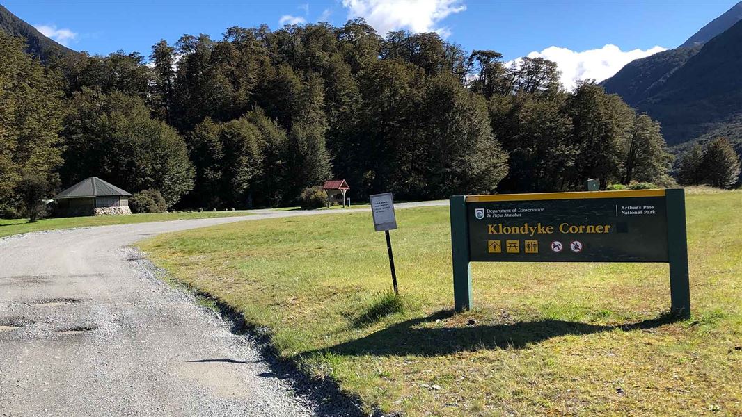
Klondyke Corner Campsite
Standard • Canterbury • 2 km
Klondyke Corner Campsite is a large, open campsite in Canterbury located near the junction of the Bealey and Waimakariri Rivers. It is a popular destination…
Non-powered/tent sites • Shelter for cooking • Water from tap - not treated, boil before use
The West Coast Alpine Club
Canterbury • 4.7 km
The West Coast Alpine Club is a hut located in the Canterbury region. No specific facilities or details are provided in the available records.
Christchurch Tramping Club Lodge
Canterbury • 4.8 km
The Christchurch Tramping Club Lodge is a hut located in the Canterbury region. It is also known as Kennedy Lodge.

Avalanche Creek Shelter Campsite
Standard • Canterbury • 5.3 km
Avalanche Creek Shelter Campsite is a standard campsite located just off the main road in the Arthur’s Pass village. It sits almost directly opposite the…
Non-powered/tent sites • Shelter for cooking • Toilets - flush
New Zealand Alpine Club Lodge
Canterbury • 5.3 km
The New Zealand Alpine Club Lodge is a hut located in the Canterbury region. It is a facility managed by the New Zealand Alpine Club.
Walks nearby
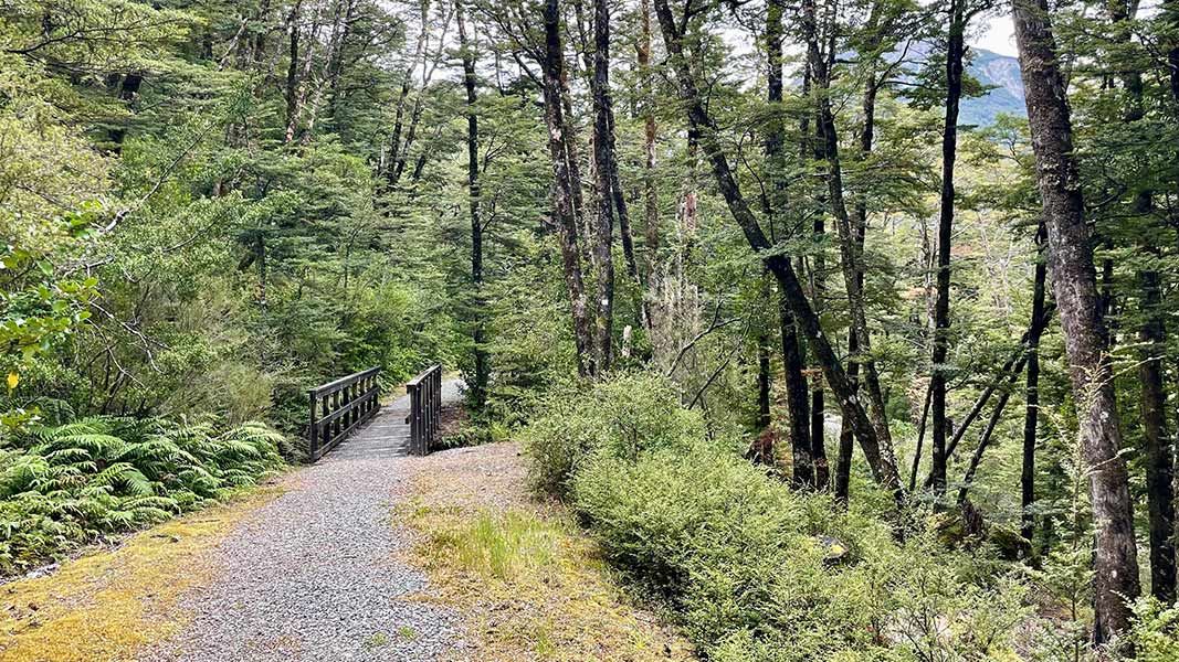
Old Coach Road
Easiest • 30 min return • 1.1 km • 0.26 km away
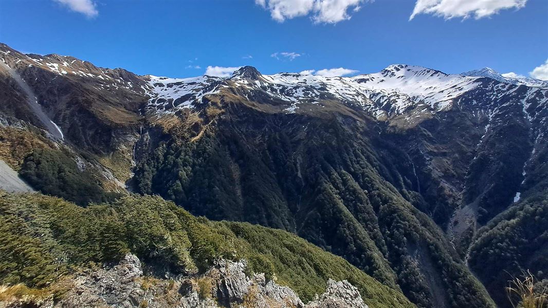
Mount Bealey Track
Advanced • 2-4 hours return to the bushline • 3.2 km (610 m vertical climb) to the bushline • 4.3 km away
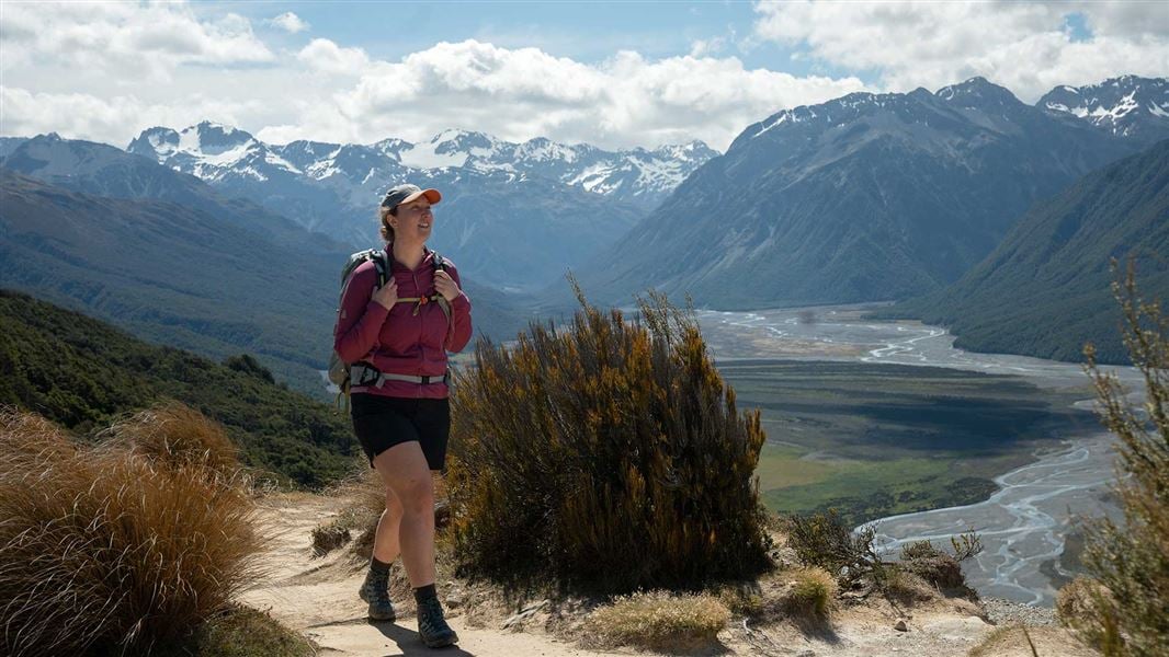
Bealey Spur Track
Easy • 2 hr 30 min one way • 6 km • 5.03 km away
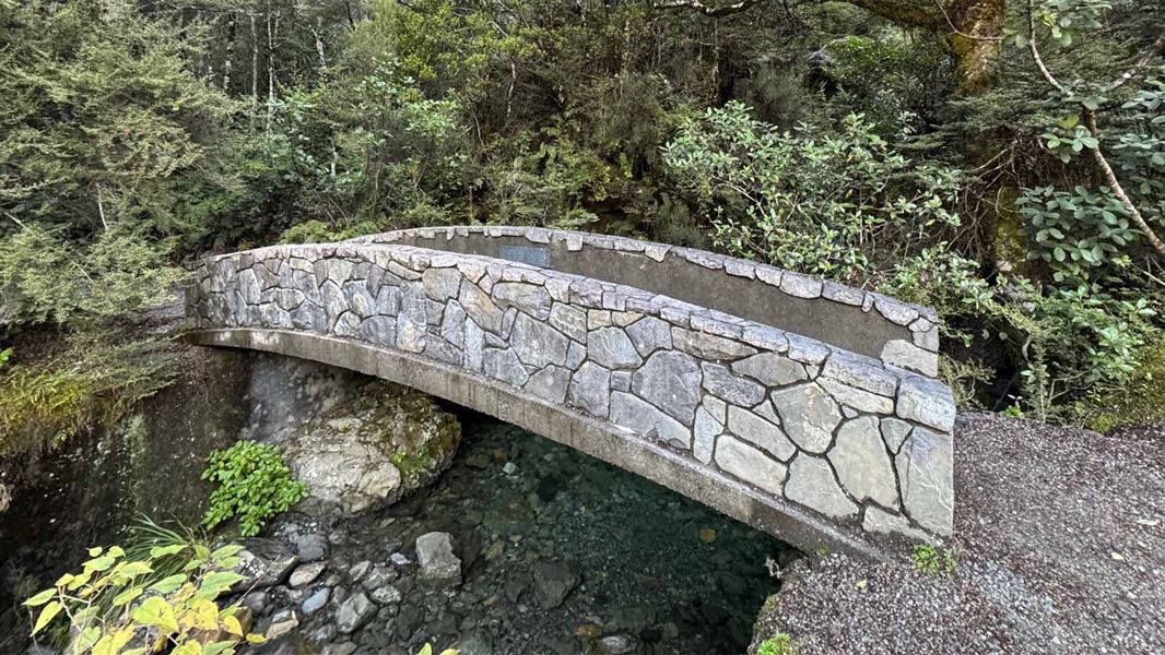
Millennium Walk
Easiest • 10 min • 350 m • 5.42 km away
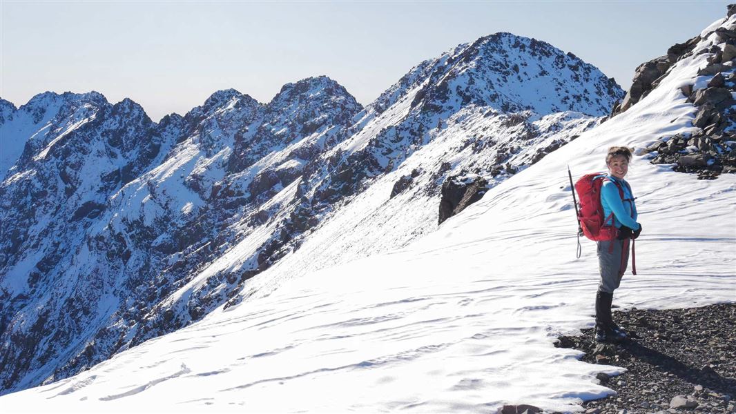
Mount Aicken Track
Advanced • 2-4 hr return to the bushline • 2.8 km (540 vertical climb) to the bushline • 5.79 km away
Notes from people who have been
No notes yet. If you have been, say what you found.
Something missing or out of date?
Closed, moved, wrong facts, or something we have missed? Travellers keep the Road Guide up to date. Tell us what you found at contribute@parkup.nz and we will check it and add it.
Ask us to take this down
A person reads every request. We do not remove a place until we have checked it.
Sources
- OpenStreetMap Campsites · ODbL (Open Database License)Contains information from OpenStreetMap, made available under the ODbL.