Gouland Downs Hut
Great Walk hutKahurangi National Park, TasmanOpen
Current advisories
Landslip on Heaphy Track
16 September 2026
There is a slip on Heaphy Track close to Crayfish Point, between Kōhaihai and Heaphy Hut. The slip is impassable. A diversion is in place, but should only be attempted within 4 hours either side of low tide. From 28 September to 7 October, maintenance work will be taking place on the track, including the diversion. For safety reasons, access to the diversion may be temporarily stopped and delays of up to 1 hour are possible. To allow enough time to cross the diversion, do not arrive at the slip site more than 3 hours after low tide. Check the Tide Tables - for exact timings deduct 30 minutes from the time for Westport tides. It is dangerous to cross outside of these times and watch for rogue waves. Keep children close at all times while crossing this area. First published on 8 September 2026. Last reviewed on 17 September 2026.
Source: DOC Te Papa Atawhai alerts.
- Sleeps
- 8 bunks
- Booking
- Can book
- Cost
- Fee applies
- Heating
- Yes
- Drinking water
- Boil first
- Toilet
- Non-flush
Getting there
We have not checked a road end or car park for this place yet, so we do not give driving directions to it. Check how to get there before you go. Some routes cross private land and need the landowner's permission.
How to get there, on doc.govt.nz- Topo map
- Topo50 sheet BP23
Source: DOC Te Papa Atawhai.
Map and tracks
Track lines: DOC Te Papa Atawhai. Map data © OpenStreetMap contributors. Topo map: LINZ, CC BY 4.0. 40.89057° S, 172.35328° E
About this place
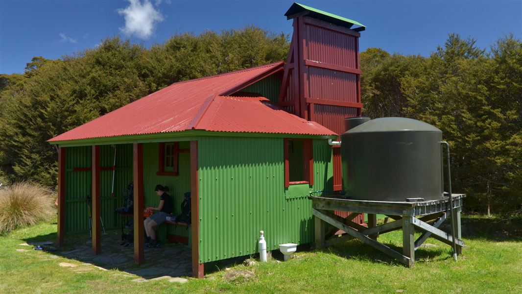
This is a 8-bunk hut located on the Heaphy Track in the Golden Bay area.
On the way here
Heaphy Track · 4-6 days
Perry Saddle to Gouland Downs Hut
Time: 2 hr walking, 1-2 hr mountain biking
km Cross Perry Saddle and sidle above Perry Creek through tussock clearings and patches of beech. Soon the valley widens and the track climbs a small rise to where the Gouland Downs, an open tussock area, is revealed stretching out to the west. The track meanders easily down to Cave Brook, passing the famed pole to which trampers have tied old boots over the years. Just beyond the brook is Gouland Downs Hut. Nearby, a small patch of beech grows on a limestone outcrop which has escaped erosion. This area is worth exploring. The track crosses one of several limestone arches, which are the remnants of old caves. Nearby, a small waterfall flows out of another cave passage. Mountain biking: A mainly downhill ride to Gouland Downs on a wide, well-formed track. Initially, the track is quite steep with technical stony sections and deep streams.
Campsites and huts between Perry Saddle and Gouland Downs Hut
Look and listen out for great spotted kiwi/roroa around Gouland Downs.
Gouland Downs Hut to Saxon Hut
Time: 1 hr 30 min, 1-2 hr mountain biking
5.4 km Beyond Gouland Downs Hut the track is relatively level as it crosses the northern part of Gouland Downs. The tussock country and riverbeds make for good exploring but, when the mist lowers, the featureless downs can be confusing and it is easy to become disorientated. Saxon Hut, nestled near the end of the downs, is named after John Saxon, who surveyed the track in 1886.
Source: DOC Te Papa Atawhai.
Fees and bookings
Backcountry Hut Passes and Backcountry Hut Tickets cannot be used at this hut.
Book Heaphy Track huts/campsites online
Source: DOC Te Papa Atawhai.
Nearby stops
Saxon Hut
Great Walk • 16 bunks • Tasman • 3.8 km
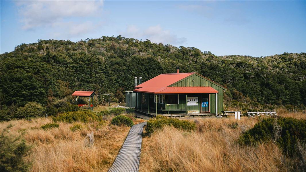
Saxon Hut is a 16-bunk hut located on the Heaphy Track in the Golden Bay area. It provides accommodation for hikers traversing this section of the track.
Cooking • Heating • Mattresses

Saxon campsite
Great Walk • Tasman • 3.8 km
Saxon campsite is a walk-in campsite on the Heaphy Track in the Tasman region. It is situated on the edge of Gouland Downs, where you can listen for great…
Non-powered/tent sites • Water from tap - not treated, boil before use • Toilets - non-flush
Perry Saddle Hut
Great Walk • 28 bunks • Tasman • 4.3 km
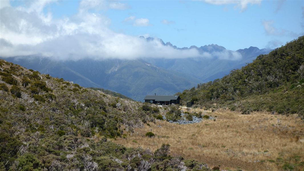
Perry Saddle Hut is a 28-bunk hut located on the Heaphy Track in the Golden Bay area of the Tasman region.
Cooking • Heating • Mattresses

Perry Saddle campsite
Great Walk • Tasman • 4.3 km
Perry Saddle campsite is a walk-in campsite located on the Heaphy Track in the Tasman region. Situated in the fold of the saddle with high hills on either…
Non-powered/tent sites • Water from tap - not treated, boil before use • Toilets - non-flush
Aorere Shelter campsite
Great Walk • Tasman • 7.3 km
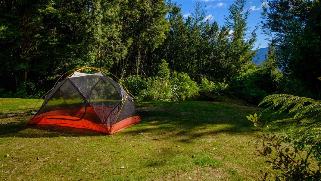
Aorere Shelter is a walk-in campsite on the Heaphy Track in the Tasman region. On fine days following rain, Mt Taranaki can be seen in the distance.
Non-powered/tent sites • Water from tap - not treated, boil before use • Toilets - non-flush
Contact
Nelson/Tasman/Marlborough information
Regional DOC service centre.
Notes from people who have been
No notes yet. If you have been, say what you found.
Something missing or out of date?
Closed, moved, wrong facts, or something we have missed? Travellers keep the Road Guide up to date. Tell us what you found at contribute@parkup.nz and we will check it and add it.
Ask us to take this down
A person reads every request. We do not remove a place until we have checked it.
Sources
- OpenStreetMap Huts · ODbL (Open Database License)Contains information from OpenStreetMap, made available under the ODbL.
- DOC Huts (API) · CC BY 4.0Crown Copyright: Department of Conservation Te Papa Atawhai. Data sourced from the DOC Developer Portal (api.doc.govt.nz).
- DOC Huts · CC BY 4.0Data sourced from the Department of Conservation (DOC), New Zealand.