Godley River Route
WalkCanterburyOpen
- Grade
- Expert
- Walking time
- 11 hr
- Distance
- 25 km, 32 km
- Route
- One way
- Biking time
- 5 hr one way
- Dogs
- No dogs
Getting there
We have not checked a road end or car park for this place yet, so we do not give driving directions to it. Check how to get there before you go. Some routes cross private land and need the landowner's permission.
How to get there, on doc.govt.nzTo reach the start of the track you need to cross Macaulay River first. This can be a difficult crossing in periods of high rainfall or snowmelt. Another option is to leave your vehicle at the end of Lilybank Road in the designated parking area and cross the river on foot.
To reach the start of the track you need to cross Macaulay River first. This can be a difficult crossing in periods of high rainfall or snowmelt. Another option is to leave your vehicle at the end of Lilybank Road in the designated parking area and cross the river on foot.
Source: DOC Te Papa Atawhai.
Map
Map data © OpenStreetMap contributors. Topo map: LINZ, CC BY 4.0. 43.63285° S, 170.50307° E
About this place
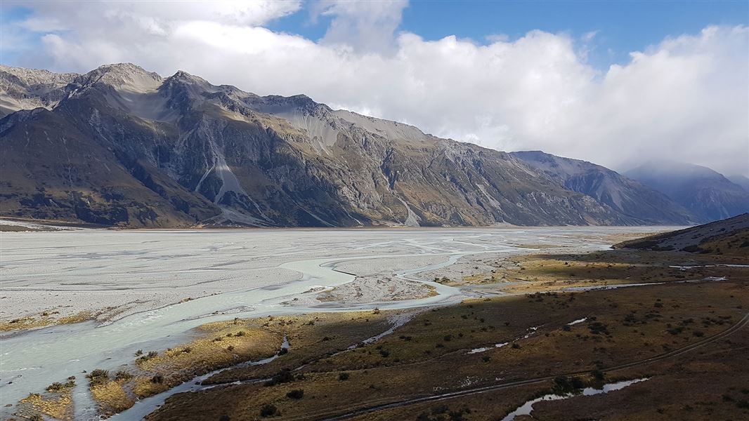
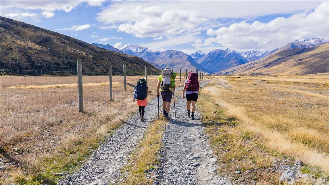
Walk or mountain bike up the Godley valley to Red Stag Hut and Godley Hut.
The route
Lilybank Road to Red Stag Hut
Time: 8 hr
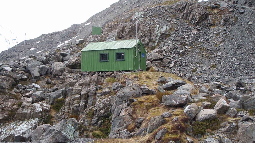
km Keep to the 4WD track initially as this is a public access easement through private farmland. You will pass a sign for Te Kahui Kaupeka Conservation Park when you reach the park boundary. Red Stag Hut is very small so carry a tent in case the hut is full. Four wheel driving: The track is popular with 4WD vehicles due to the long distances to each hut. Keep to the track. Horse riding: This track travels along stony flats. Mountain biking: Mountain biking into Red Stag Hut is a rougher ride than to Macaulay Hut. Mountain bikers can continue up Godley valley as far as Separation Stream, which is where the 4WD track ends.
Red Stag Hut to Godley Hut
Time: 3 hr
km The track is generally well-formed to Separation Stream. From here it is an unmarked route to Godley Hut and you need to be an experienced tramper to find the way within the glacial moraines.
Source: DOC Te Papa Atawhai.
On this track
In walking order.

Nearby stops
Angus Hut
Canterbury • 3.4 km
Angus Hut is a backcountry hut located in the Canterbury region of New Zealand. The provided records do not include specific details regarding its facilities…
Rankin Hut
Canterbury • 4.1 km
Rankin Hut is a backcountry hut located in the Canterbury region of New Zealand. It provides basic shelter for hikers and tramping parties in the area.
Ribbonwood Hut
Canterbury • 8.2 km
Stoney Stream Hut
Canterbury • 9.8 km
Stoney Stream Hut is a backcountry hut located in the Canterbury region. It provides basic shelter for tramping parties in the area.
Macaulay Hut
Serviced • 14 bunks • Canterbury • 10 km
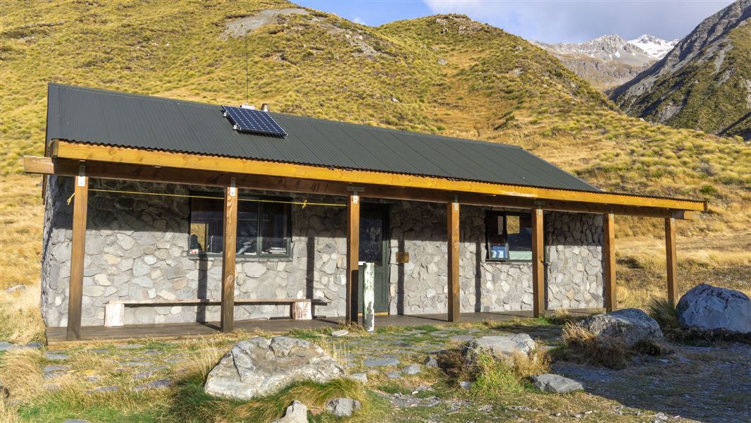
Macaulay Hut is a serviced 14-bunk hut located in the Mackenzie Country and Waitaki area of Canterbury.
Cooking • Heating • Mattresses
Notes from people who have been
No notes yet. If you have been, say what you found.
Something missing or out of date?
Closed, moved, wrong facts, or something we have missed? Travellers keep the Road Guide up to date. Tell us what you found at contribute@parkup.nz and we will check it and add it.
Ask us to take this down
A person reads every request. We do not remove a place until we have checked it.
Sources
- DOC Tracks & Trails · CC BY 4.0Data sourced from the Department of Conservation (DOC), New Zealand.
- DOC Tracks (API) · CC BY 4.0Crown Copyright: Department of Conservation Te Papa Atawhai. Data sourced from the DOC Developer Portal (api.doc.govt.nz).