Whakaipo Bay tracks
WalkWaikatoOpen
- Grade
- Easy
- Walking time
- 7 hr
- Distance
- 14 km, 23.5 km
- Biking time
- 2 hr | 3 hr 30 min
- Dogs
- Under control
Getting there
We have not checked a road end or car park for this place yet, so we do not give driving directions to it. Check how to get there before you go. Some routes cross private land and need the landowner's permission.
How to get there, on doc.govt.nzWhakaipo Bay Reserve is located 12 km from Taupo, off Mapara Road.
Source: DOC Te Papa Atawhai.
Map
Map data © OpenStreetMap contributors. Topo map: LINZ, CC BY 4.0. 38.68902° S, 175.91805° E
About this place
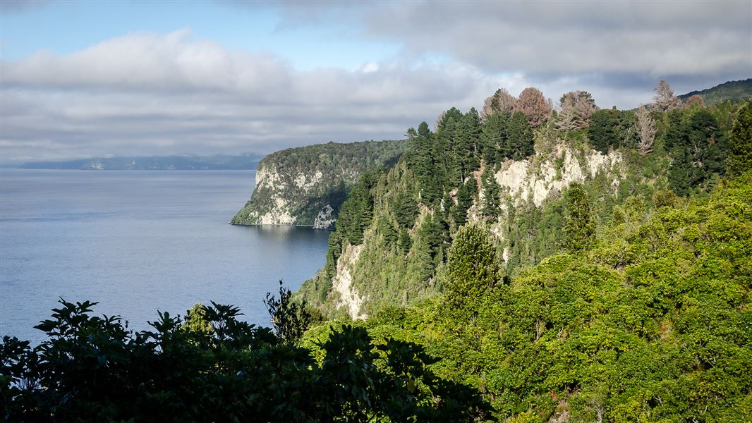
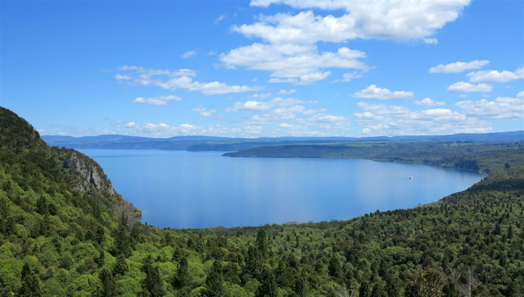
Walk or ride over the headland between Whakaipo and Whangamata bays and enjoy the lake views and native bush.
The route
Whakaipo Bay to Kinloch (W2K)
Time (one way): 4 hr 30 min walk, 2 hr mountain bike km This section can be started at either end, but is described here from Whakaipo Bay. The track starts at the shelter at the western end of the bay, climbing gently through native forest to the headland between the bays. There are several lookout points on the trail, offering stunning views of Lake Taupō and its surrounds. The trail descends into Whangamata Bay down the side of steep cliffs, and finishes at the beach in Kinloch.
Headland Loop
Time (one way): 3 hr walk, 1 hr 30 min mountain bike 9.5 km This is an additional loop accessed from half way along the W2K track. It's designed for cyclists or suited to fitter walkers. A good way to do this walk is to split the party and have vehicles at either end of the track, or use a shuttle service.
Source: DOC Te Papa Atawhai.
Nearby stops
Whakaipo Campsite
Basic • Waikato • 3.6 km
Whakaipo Campsite is a self-contained vehicle only campsite located next to Lake Taupō in the Waikato region. The site offers farm park surroundings and access…
Water from stream • Toilets • Water supply
Whakaipo Amenity Area
Waikato • 4.4 km
Whakaipo Amenity Area is on Mapara Road in Whakaipo Bay Recreation Reserve, Taupō District. It is for self-contained vehicles only, with a maximum stay of four…
Great Lake Taupo Holiday Park
Waikato • 11.1 km
Great Lake Taupo Holiday Park is a campsite located in the Waikato region. It is situated near Lake Taupo, offering a base for visitors exploring the area.
Hipapatua/Reid's Farm Campsite
Waikato • 14.4 km
Hipapatua/Reid's Farm Campsite is a camping location situated in the Waikato region. The provided records do not include specific details regarding available…
Taupo TOP 10 Holiday Park
Waikato • 14.9 km
Notes from people who have been
No notes yet. If you have been, say what you found.
Something missing or out of date?
Closed, moved, wrong facts, or something we have missed? Travellers keep the Road Guide up to date. Tell us what you found at contribute@parkup.nz and we will check it and add it.
Ask us to take this down
A person reads every request. We do not remove a place until we have checked it.
Sources
- DOC Tracks & Trails · CC BY 4.0Data sourced from the Department of Conservation (DOC), New Zealand.
- DOC Tracks (API) · CC BY 4.0Crown Copyright: Department of Conservation Te Papa Atawhai. Data sourced from the DOC Developer Portal (api.doc.govt.nz).