Gibbs Hill Track
WalkTasman
- Grade
- Advanced
- Dogs
- No dogs
Getting there
We have not checked a road end or car park for this place yet, so we do not give driving directions to it. Check how to get there before you go. Some routes cross private land and need the landowner's permission.
How to get there, on doc.govt.nzThe road-ends of Tōtaranui and Wainui are north-east of Takaka. Tōtaranui is 32km from Takaka by road. For the last 13 km the road is unsealed. Wainui is 21 km from Takaka. For the last 2 km, the road is unsealed.
The gate at the camp entrance is locked overnight. 1 October - 31 March opening times: 7.30 am to 8.30 pm1 April - 30 September opening times: 7.30 am to 6.30 pm
Source: DOC Te Papa Atawhai.
Map and tracks
Track lines: DOC Te Papa Atawhai. Map data © OpenStreetMap contributors. Topo map: LINZ, CC BY 4.0. 40.80910° S, 172.97319° E

About this place
The Gibbs Hill Track crosses Abel Tasman National Park inland between Wainui and Tōtaranui.
The route
There are several walking and biking options for the Gibbs Hill Track.
Loop: Wainui – Gibbs Hill – Tōtaranui – road back to Wainui
Time: 5 hr 30 min (walking); 2 hr 30 min (biking)
km The circuit is easier to do in a clockwise direction to take advantage of the gentler uphill from Wainui to Gibbs Hill. From Wainui car park follow the Coast Track to the saddle and then turn right up the ridge towards Gibbs Hill. Continue south along the ridge and turn left towards Tōtaranui at the next intersection. Some sections of this track are steep and slippery in wet weather. It’s 10 km of track from Wainui to Tōtaranui. If biking use the Tōtaranui road for the 13km return to Wainui, walkers can return to Wainui via the Abel Tasman Coast Track .
Tōtaranui – Gibbs Hill return
km From the Tōtaranui camp office, follow the avenue road and then Abel Tasman Coast Track past the Ngarata Homestead north towards Anapai. At 1.4 km, just past the concrete bridge, turn left at the start of the Gibbs Hill track. The track crosses a ford before a 3 km long uphill section begins which has steep sections. At the ridge and next intersection, turn right to Gibbs Hill. From the saddle you can follow a narrow track to the summit a few minutes walk away where there are great views. Return the same way.
Mountain biking
Mountain biking Wainui - Gibbs Hill - Tōtaranui is allowed from 1 May to 30 September at any time of the day. There is a maximum group size of eight riders. Mountain biking is NOT allowed on other tracks in the area. This is a shared-use track. Follow the mountain bikers code : respect others, respect the rules, respect the track.
Source: DOC Te Papa Atawhai.
Joins these tracks
Source: DOC Te Papa Atawhai.
Nearby stops
Rata Camp
Tasman • 1.5 km

Whariwharangi Hut
Great Walk • 20 bunks • Tasman • 2.2 km
Whariwharangi Hut is the most northern Great Walk Hut on the Abel Tasman Track, located in a grassy clearing within regenerating bush. Built around 1896 and…
Heating • Mattresses • Toilets - flush

Whariwharangi Bay campsite
Great Walk • Tasman • 2.3 km
Whariwharangi Bay campsite is located on the Waiharakeke to Whariwharangi section of the Abel Tasman Coast Track in the Tasman region. Access is by walking or…
Fire pit/place for campfires (except in fire bans) • Non-powered/tent sites • Toilets - flush

Anapai Bay campsite
Great Walk • Tasman • 2.7 km
Anapai Bay is a beachside campsite located on the Waiharakeke to Whariwharangi section of the Abel Tasman Coast Track. It is accessible only by walking or…
Non-powered/tent sites • Toilets - flush • Water from tap - not treated, boil before use

Mutton Cove campsite
Great Walk • Tasman • 2.7 km
Mutton Cove campsite is a beachside campsite on the Waiharakeke to Whariwharangi section of the Abel Tasman Coast Track. It is accessible by walk-in or…
Fire pit/place for campfires (except in fire bans) • Non-powered/tent sites • Toilets - flush
Walks nearby
Abel Tasman Inland Track
2.15 km away
Gibbs Hill to Whariwharangi Bay Loop Track
Advanced • 5 hr 30 min loop • 18.3 km • 2.44 km away
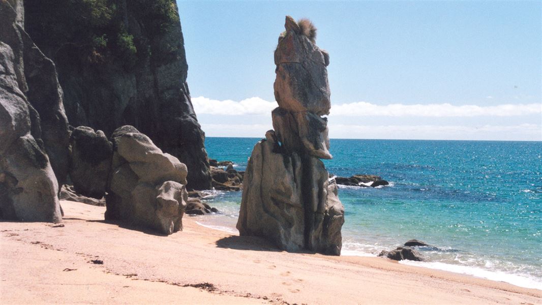
Tōtaranui to Anapai Bay
Intermediate • 2 hr return via same track • 4.2 km • 2.52 km away
Pukatea Walk
Easy • 30 min return via same track • 0.8 km • 2.65 km away
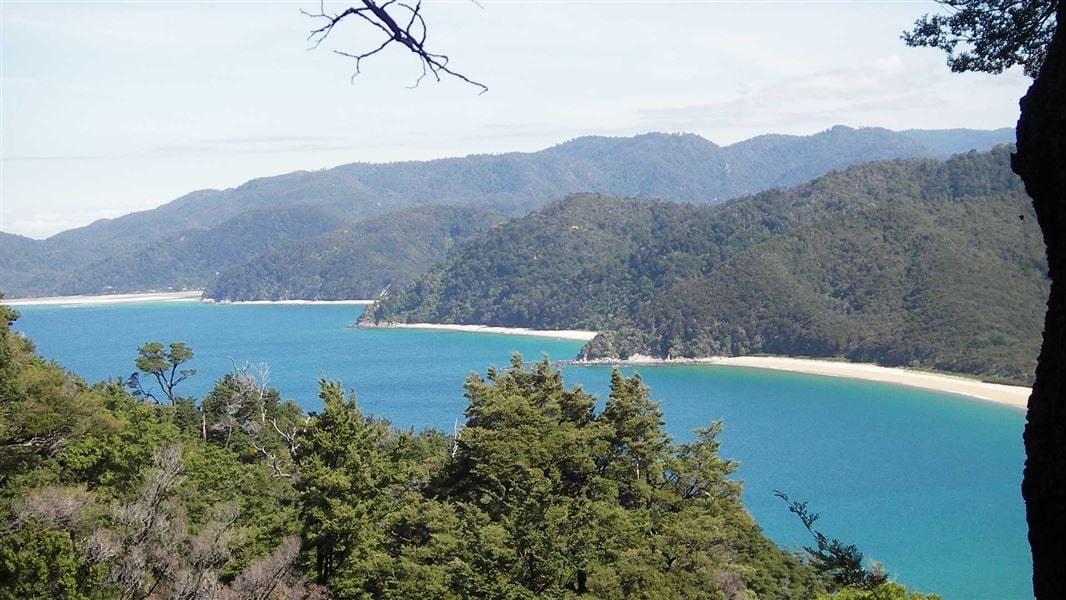
Headlands Track
Easy • 1 hr loop • 1.6 km • 2.71 km away
Notes from people who have been
No notes yet. If you have been, say what you found.
Something missing or out of date?
Closed, moved, wrong facts, or something we have missed? Travellers keep the Road Guide up to date. Tell us what you found at contribute@parkup.nz and we will check it and add it.
Ask us to take this down
A person reads every request. We do not remove a place until we have checked it.
Sources
- OpenStreetMap Trails · ODbL (Open Database License)Contains information from OpenStreetMap, made available under the ODbL.
- DOC Tracks (API) · CC BY 4.0Crown Copyright: Department of Conservation Te Papa Atawhai. Data sourced from the DOC Developer Portal (api.doc.govt.nz).