Fosters Hut
Standard hutMount Richmond Forest Park, MarlboroughOpen
- Sleeps
- 4 bunks
- Booking
- Not bookable
- Cost
- from $15
- Heating
- Yes
- Drinking water
- Boil first
- Toilet
- Non-flush
Getting there
We have not checked a road end or car park for this place yet, so we do not give driving directions to it. Check how to get there before you go. Some routes cross private land and need the landowner's permission.
How to get there, on doc.govt.nzKiwi Road: 2 hr (7 km).
Turn off SH6 onto Northbank Road, 4.9 km north of Renwick – just over the Wairau River bridge. After 4.8 km turn into Onamalutu Road, which becomes Kiwi Road.
From Fosters Hut: Follow the short track back down to Foster’s Clearing known as the Foster Creek-Bartletts Creek saddle. The wide track descends Bartlett’s Ridge to the carpark just off Kiwi Road.
Devil’s Creek Hut: 3 hr (8.5 km)
- Topo map
- Topo50 sheet BQ27
- Grid reference
- E1653505, N5413215
Source: DOC Te Papa Atawhai.
Map and tracks
Track lines: DOC Te Papa Atawhai. Map data © OpenStreetMap contributors. Topo map: LINZ, CC BY 4.0. 41.43098° S, 173.64032° E
About this place
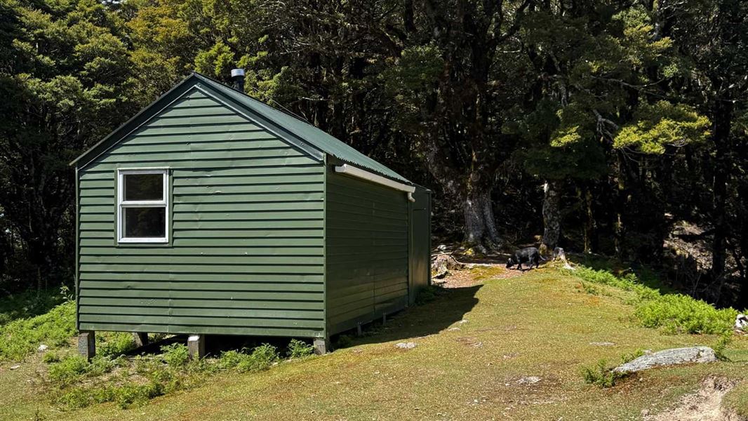
This is a standard 4-bunk hut in Mount Richmond Forest Park.
On the way here
Wakamarina Track · 7 hrs (south to north)
Mountain biking
Mountain bikers could complete the trip in one day, and it is best ridden from Onamalutu Reserve (Blenheim end) to Canvastown (Havelock end). The section at the Havelock end is a popular shorter ride and is mainly grade 3 to Devils Creek Hut including the Doom Track. This is a challenging ride with steep sections, particularly during or after wet weather. It is grade 3 (intermediate) to grade 5 (expert). 45 km, 1–2 days. If choosing to spend a night, there is Fosters Hut on the main ridge of the Richmond Range, and Devils Creek Hut in the Wakamarina Valley is around halfway. This is a shared-use track. Follow the mountain bikers code : respect others, respect the rules, respect the track.
Source: DOC Te Papa Atawhai.
Fees and bookings
Before you go, buy Hut Tickets for each night's stay. Put these in the honesty box at the hut. Or buy a Backcountry Hut Pass that gives unlimited use at most Standard and Serviced huts for a 12 month period. Retailers that sell hut tickets and passes
Source: DOC Te Papa Atawhai.
Nearby stops
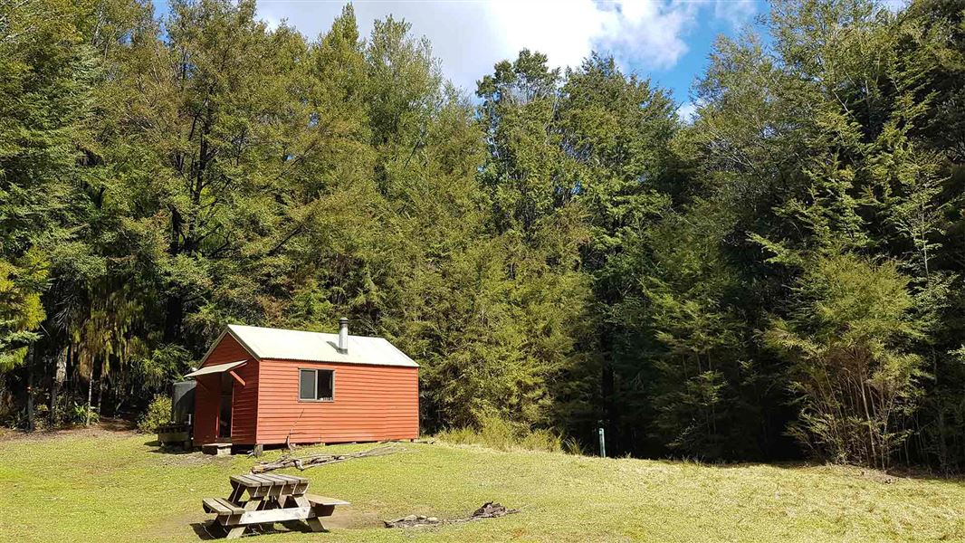
Devils Creek Hut
Standard • 6 bunks • Marlborough • 5.5 km
Devils Creek Hut is a DOC hut located in the Marlborough region, situated on the Wakamarina Track. It is accessible by walk or mountain bike and lies…
Heating • Mattresses • Toilets - non-flush

Mt Sunday Bivvy
Basic/bivvies • 2 bunks • Marlborough • 4 km
Mt Sunday Bivvy is a basic two-bunk hut located in the South Marlborough area.
Mattresses • Toilets - non-flush • Water from tap - not treated, boil before use

Onamalutu Campsite
Standard • Marlborough • 6.3 km
Onamalutu Campsite is a standard campsite located in the Marlborough region. It is situated within remnant podocarp forest.
Non-powered/tent sites • Powered sites • Toilets - flush

Butchers Flat Campsite
Standard • Marlborough • 7.2 km
Butchers Flat Campsite is a grassy, flat camping area in Marlborough with a history as a gold mining site. The location offers opportunities for picnicking and…
Non-powered/tent sites • Water from tap - not treated, boil before use • Toilets - non-flush
Pinedale Camping Ground
Marlborough • 9.2 km
Pinedale Camping Ground is a campsite located in the Marlborough region. The provided records do not include specific details about its facilities or amenities.
Contact
Nelson/Tasman/Marlborough information
Regional DOC service centre.
Notes from people who have been
No notes yet. If you have been, say what you found.
Something missing or out of date?
Closed, moved, wrong facts, or something we have missed? Travellers keep the Road Guide up to date. Tell us what you found at contribute@parkup.nz and we will check it and add it.
Ask us to take this down
A person reads every request. We do not remove a place until we have checked it.
Sources
- DOC Huts · CC BY 4.0Data sourced from the Department of Conservation (DOC), New Zealand.
- OpenStreetMap Huts · ODbL (Open Database License)Contains information from OpenStreetMap, made available under the ODbL.
- DOC Huts (API) · CC BY 4.0Crown Copyright: Department of Conservation Te Papa Atawhai. Data sourced from the DOC Developer Portal (api.doc.govt.nz).