Elvy Waterfalls Track
WalkMarlborough
- Grade
- Easy
- Walking time
- 2 hr
- Distance
- 1.5 km
- Dogs
- No dogs
Getting there
We have not checked a road end or car park for this place yet, so we do not give driving directions to it. Check how to get there before you go. Some routes cross private land and need the landowner's permission.
How to get there, on doc.govt.nzThe reserve is located midway between Blenheim and Nelson on SH6, 18 km west of Havelock.
Source: DOC Te Papa Atawhai.
Map and tracks
Track lines: DOC Te Papa Atawhai. Map data © OpenStreetMap contributors. Topo map: LINZ, CC BY 4.0. 41.30404° S, 173.56211° E
Got a good photo of this place? Send it to us and we will show it with your name.
About this place
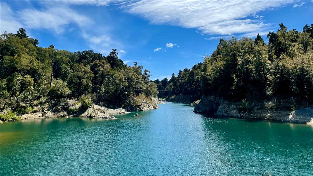
This tramping track offers the opportunity to view two picturesque waterfalls, along streams that feed into the Pelorus River.
The route
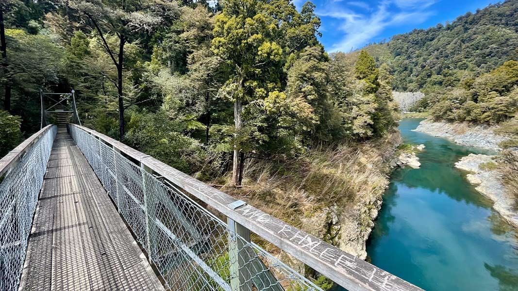
Elvy Waterfalls Track branches off the Tawa Path and wanders along the bank of the river for most of its length, before turning up Elvy Stream. Access to the first waterfall requires a stream crossing so take care during wet weather. Return via the same track or continue on to Trig K Track . Tawa Walk and Weta Walk also branches off the Elvy Waterfalls Track. Visitors can start on the Tawa Walk from the carpark or the Weta Walk from the camp and then continue on the Elvy Waterfalls Track .
Source: DOC Te Papa Atawhai.
Know before you go
Water safety
If you plan to enjoy the water, learn how to stay safe when swimming, boating and fishing .
Source: DOC Te Papa Atawhai.
Nearby stops

Pelorus Bridge Campground
Serviced • Marlborough • 0.7 km
Pelorus Bridge Campground is located on the banks of the Te Hoiere/Pelorus River in the Marlborough region. The site is surrounded by towering kahikatea,…
Cookers/electric stove • Non-powered/tent sites • Phone
Pinedale Camping Ground
Marlborough • 7.9 km
Pinedale Camping Ground is a campsite located in the Marlborough region. The provided records do not include specific details about its facilities or amenities.
Alfred Stream Reserve
Marlborough • 8.2 km
Alfred Stream Reserve is beside State Highway 6 near Rai Valley. Camping is limited to one night in any four-week period and requires a certified…

Butchers Flat Campsite
Standard • Marlborough • 8.5 km
Butchers Flat Campsite is a grassy, flat camping area in Marlborough with a history as a gold mining site. The location offers opportunities for picnicking and…
Non-powered/tent sites • Water from tap - not treated, boil before use • Toilets - non-flush
Opouri Road
Marlborough • 10.1 km
The Opouri Road camping area is off Ronga Road, northeast of Rai Valley, beside Carluke Domain. Certified self-contained vehicles may stay for two nights in…
Walks nearby
Notes from people who have been
No notes yet. If you have been, say what you found.
Something missing or out of date?
Closed, moved, wrong facts, or something we have missed? Travellers keep the Road Guide up to date. Tell us what you found at contribute@parkup.nz and we will check it and add it.
Ask us to take this down
A person reads every request. We do not remove a place until we have checked it.
Sources
- DOC Tracks (API) · CC BY 4.0Crown Copyright: Department of Conservation Te Papa Atawhai. Data sourced from the DOC Developer Portal (api.doc.govt.nz).