Casey Hut
Serviced hutArthur's Pass National Park, CanterburyOpen
- Sleeps
- 12 bunks
- Booking
- Can book
- Cost
- from $10
- Heating
- Yes
- Drinking water
- Boil first
- Toilet
- Non-flush
Getting there
We have not checked a road end or car park for this place yet, so we do not give driving directions to it. Check how to get there before you go. Some routes cross private land and need the landowner's permission.
How to get there, on doc.govt.nz- Topo map
- Topo50 sheet BV21
- Grid reference
- E1507823, N5250119
Source: DOC Te Papa Atawhai.
Map and tracks
Track lines: DOC Te Papa Atawhai. Map data © OpenStreetMap contributors. Topo map: LINZ, CC BY 4.0. 42.89587° S, 171.87113° E
About this place
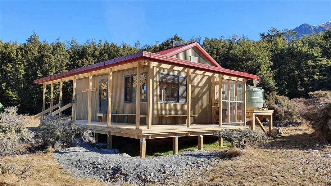
This serviced 12-bunk hut is a popular overnight destination as part of the two-day Casey Saddle – Binser Saddle Route, as well as for mountain bikers accessing the hut from the Poulter River Track.
On the way here
Casey Saddle - Binser Saddle Route · 2 days
Andrews Shelter to the new Casey Hut
Time: 6 - 8 hr
Note: The original Casey Hut burnt down in October 2015. A new 12-bunk replacement hut opened in August 2020. This hut is in a new location on the terrace overlooking the Poulter River and the last section of track has been rerouted to follow the river, rather than entering the beech forest. This will not be noted on older maps and descriptions. The easy open tussock flats on Hallelujah Flat and Casey Saddle are linked to Andrews Shelter. The new Casey Hut is well-marked and signposted. If you prefer a more exciting route, you can follow Andrews streambed, as long as the stream is low. The gorge of Casey Stream is also fairly straight forward when the stream is low, although it is a somewhat more strenuous route than the Andrews. Both stream routes may contain flood debris.
Casey Track
Beyond the saddle, keep to the terrace immediately above Surprise Stream. After a few minutes, the reasonably well-worn track crossing the saddle drops into the streambed below a small swamp. The forest track to the Casey Hut site begins a few minutes below Trinity Stream–Surprise Stream –Pampas Stream confluence. The track marker is tucked under the forest canopy on the true right, just past a bit of rough track through scrub on that side. About 50 metres downstream from the marker on the opposite side, a steep eroded gravel bank drops into the stream. If you get as far as this almost treeless bank, then you have overshot the track. From the stream the track climbs a little, sidles then descends down a ridge to emerge from the bush on a large grass flat near Casey Stream. The original Casey Hut site is back from the stream at the bush edge, midway down the flat. From this site, continue another kilometre along the Casey Stream bed to the Poulter River flats to reach the new Casey Hut.
Trust-Poulter Hut
At the original hut site, instead of taking the track to the new Casey Hut, take the track north across the Casey River (note this river can rise quickly) to follow another 4WD track across river flats for another 1 hour 30 min to reach the 6-bunk Trust/Poulter Hut.
Casey Hut to Pete Stream (Poulter River)
Time: 4 - 5 hr
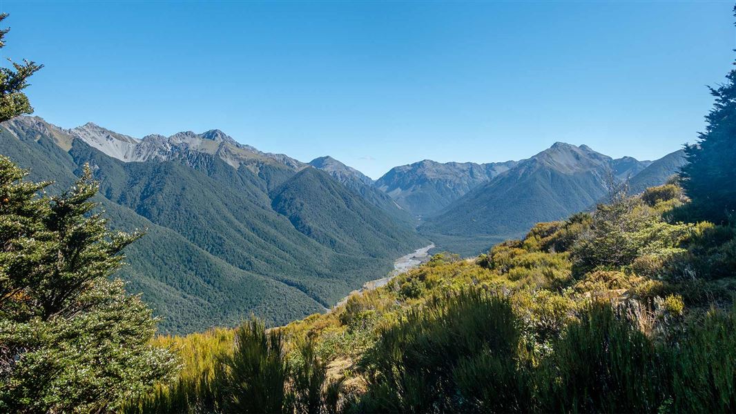
From the new Casey Hut follow an old vehicle track in the Poulter valley to Pete Stream. The track through the open sections isn’t marked, but it is marked through the bush sections. The going is mostly through open tussock grassland with matagouri, mānuka and small-leaved coprosma scrub. If you lose the track, finding it again is not difficult. Fine open vistas are soon seen from the broad bed of the Poulter. Upriver to the north is Mt Morrison on Snow Cup Range. Across the river on the south-western flanks of Poulter Range, hundreds of hectares of beech forest lie ravaged from a single storm late in 1981 which flattened almost every standing tree on these exposed hillsides. The track passes down a delightful broad grassy avenue between forest margins, following the line of an ancient stream. The track becomes vague in the gravel bed of a side creek, but resumes clearly enough on the grassy expanse of Rabbit Flat. Beyond Rabbit Flat there are views down river to the prominent Peveril Peak (opposite Pete Stream and the track over Binser Saddle). Across the river from Aeroplane Flat the very obvious slip at the head of Cleland Stream is a legacy of an earthquake that in 1929 split Falling Mountain at the head of the Edwards valley. A small climb leads to the crossing of Mt Brown Creek, opposite the East Branch of the Poulter. Below the East Branch (and again both sides of Pete Stream) steps of river terraces bear graphic testimony to a landscape that has continued to change since Pleistocene-age glaciers withdrew from this part of the valley. The highest terraces are the remains of the old post-glacial valley floor. With subsequent uplift, the river and side streams have cut down into the outwash gravels, each new course being lower and narrower than the one before. Midway between Mt Brown Creek and Pete Stream, the track climbs easily over a broad old alluvial fan and returns to the lower terraces. The poplars between the track and the hillside mark the site of the old Minchin homestead. E.C. Minchin—after whom Lake Minchin was named—began runholding here in 1857 and remained until 1870. In 1860 ownership of the run passed to Major Thomas Woolaston White, who built a new homestead near Lake Letitia on what became Mt White Station.
Source: DOC Te Papa Atawhai.
Know before you go
Stay safe when crossing rivers and streams
If you plan to cross unbridged rivers or side streams, know how to cross safely and be prepared for if you cannot cross. Do not cross if the river or stream is flooded, you cannot find safe entry and exit points or are unsure it’s safe. Turn back or wait for the river to drop. If in doubt, stay out. How to cross rivers safely NIWA river flow forecasts: View a video of national followed by regional river flows
Source: DOC Te Papa Atawhai.
Fees and bookings
1 May - 30 September
1 October - 30 April
Weekdays
Weekends
1 December - 29 February
Weekdays
Weekends
Camping
Backcountry Hut Passes can be used at this hut. About hut tickets and passes Retailers that sell hut tickets and passes
Bookings are open for stays up to 30 June 2027. If no availability shows online for your dates, the hut is fully booked. No spaces are kept for visitors arriving without a booking. Phone and in‑person bookings made at a visitor centre incur a $10 service fee. Same‑day bookings are available online until 8 pm if spaces remain.
Source: DOC Te Papa Atawhai.
Nearby stops
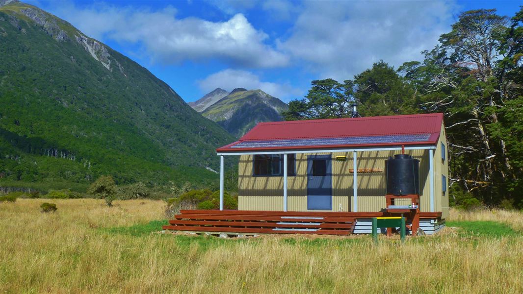
Poulter Hut
Standard • 10 bunks • Canterbury • 7.2 km
Poulter Hut is a standard 10-bunk hut located in the North Canterbury and Arthur's Pass area. It provides basic accommodation for hikers in the Canterbury…
Heating • Toilets - non-flush • Water from tap - not treated, boil before use
Casey Campsite
Canterbury • 0.6 km
Casey Campsite is located in the Canterbury region. The original Casey Hut at this site was destroyed by fire in 2015.

Ranger Bivvy
Basic/bivvies • 2 bunks • Canterbury • 4.8 km
Ranger Bivvy is a basic two-bunk hut located in the North Canterbury and Arthur's Pass area.
Heating • Toilets - non-flush • Water from stream
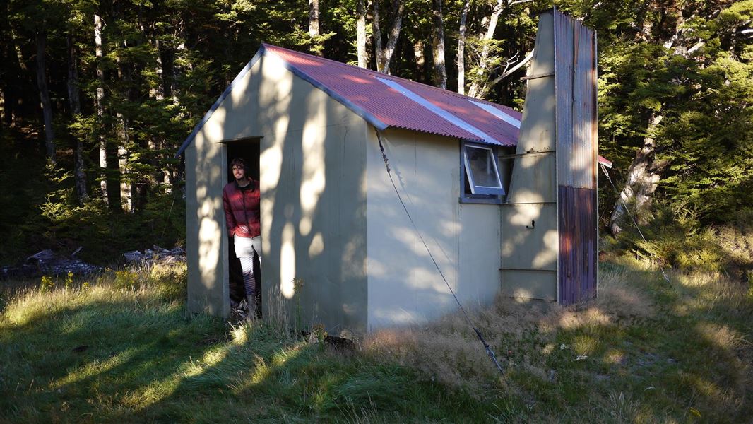
Trust/Poulter Hut
Standard • 6 bunks • Canterbury • 5.1 km
Trust/Poulter Hut is a standard six-bunk hut located in the North Canterbury and Arthur's Pass area.
Heating • Mattresses • Toilets - non-flush
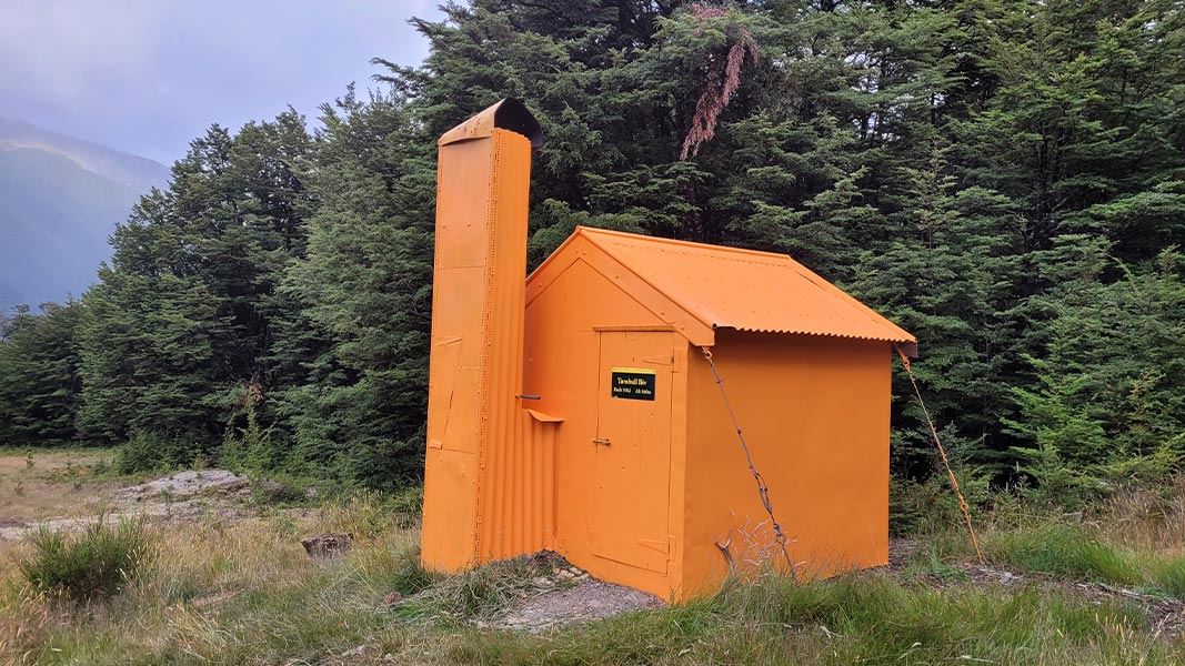
Turnbull Bivvy
Basic/bivvies • 2 bunks • Canterbury • 7.4 km
Turnbull Bivvy is a basic two-bunk hut located in the North Canterbury and Arthur's Pass area.
Heating • Toilets - non-flush • Water from stream
Walks nearby
Contact
Arthur's Pass National Park Visitor Centre
104 West Coast Road, Arthur's Pass 7654
Regional DOC service centre.
Notes from people who have been
No notes yet. If you have been, say what you found.
Something missing or out of date?
Closed, moved, wrong facts, or something we have missed? Travellers keep the Road Guide up to date. Tell us what you found at contribute@parkup.nz and we will check it and add it.
Ask us to take this down
A person reads every request. We do not remove a place until we have checked it.
Sources
- OpenStreetMap Huts · ODbL (Open Database License)Contains information from OpenStreetMap, made available under the ODbL.
- DOC Huts (API) · CC BY 4.0Crown Copyright: Department of Conservation Te Papa Atawhai. Data sourced from the DOC Developer Portal (api.doc.govt.nz).
- DOC Huts · CC BY 4.0Data sourced from the Department of Conservation (DOC), New Zealand.