Camping
CampsiteWaikato
Map
Map data © OpenStreetMap contributors. Topo map: LINZ, CC BY 4.0. 38.15744° S, 175.69486° E
Got a good photo of this place? Send it to us and we will show it with your name.
We only have the basics for this place so far: its name, its type and where it is.
Been here? Tell us what you found at contribute@parkup.nz and we will add it.
Nearby stops
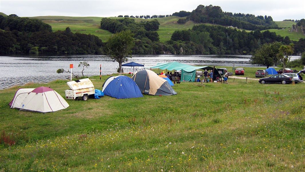
Arohena Campsite
Standard • Waikato • 3.4 km
Arohena Campsite is located on the western shores of the Waikato River in the Waikato region. It offers opportunities for swimming, picnicking, fishing, and…
BBQ • Boat launching • Fire pit/place for campfires (except in fire bans)
Jones Landing
Waikato • 8 km
Duxfield Reserve, Arapuni Road, Waotu
Waikato • 11.6 km
Duxfield Reserve is on Arapuni Road in Waotu. Certified self-contained vehicles may stay up to two consecutive nights per calendar month, arriving after 6 pm…
Glenshea Park, Park Avenue, Putaruru
Waikato • 13.8 km
Glenshea Park is on Park Avenue in Putāruru. Freedom camping is limited to self-contained vehicles in formed car parks for up to two consecutive nights in any…
Wharepapa South School Camping
Waikato • 14.1 km
Wharepapa South School Camping is a campsite in the Waikato region where camping is not permitted during school hours. A pool is available for use during the…
Notes from people who have been
No notes yet. If you have been, say what you found.
Something missing or out of date?
Closed, moved, wrong facts, or something we have missed? Travellers keep the Road Guide up to date. Tell us what you found at contribute@parkup.nz and we will check it and add it.
Ask us to take this down
A person reads every request. We do not remove a place until we have checked it.
Sources
- OpenStreetMap Campsites · ODbL (Open Database License)Contains information from OpenStreetMap, made available under the ODbL.