Boundary Creek Track
WalkOtagoOpen
- Grade
- Advanced
- Walking time
- 8 hr
- Distance
- 12 km
- Route
- Return
- Dogs
- Not Applicable
Access: read before you go
This track crosses private land. There is no camping until the conservation area boundary. Respect the landowner's livestock and property: Stay on the marked track until you reach the conservation land Leave gates as you find them Use stiles where provided Keep your distance from livestock.
You need permission from the Makarora River Ranch to take your dog into Hāwea Conservation Park using Boundary Creek Track. Email makaroraranch@gmail.com at least 24 hours in advance of your visit to request permission. You must provide a valid worming certificate to ensure your dog is free from hydatids and sheep measles.
Source: DOC Te Papa Atawhai.
Getting there
We have not checked a road end or car park for this place yet, so we do not give driving directions to it. Check how to get there before you go. Some routes cross private land and need the landowner's permission.
How to get there, on doc.govt.nzBoundary Creek Track is the access track to the McKerrow Range by way of Boundary Creek. It starts opposite the Boundary Creek campsite on SH6.
Source: DOC Te Papa Atawhai.
Map
Map data © OpenStreetMap contributors. Topo map: LINZ, CC BY 4.0. 44.34091° S, 169.20784° E
About this place
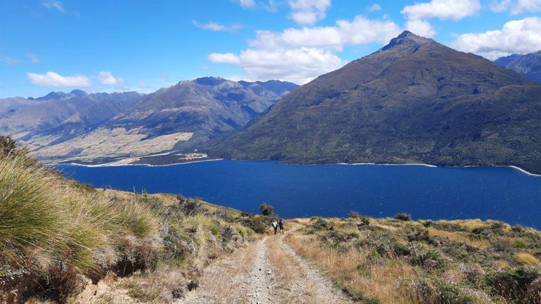
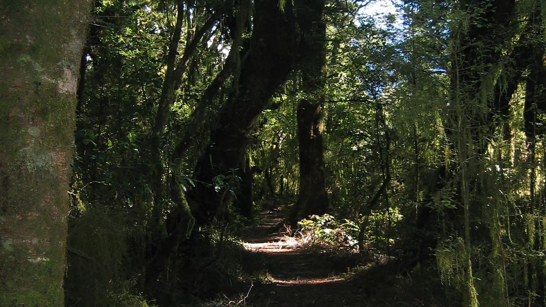
A pleasant climb up an old musterers' track above an upland river gorge.
The route
This track climbs up an old musterer’s trail above an upland river gorge to reach open flats. Before the open flats the farm track becomes narrow and over grown with limited or non-existent track marking, making this trip more suited for experienced trampers with good navigational skills. The flats are not marked, and travel involves crossing creeks and wetlands. At the head of the flats, a silver beech forest by the forks provides an ideal campsite for overnight visitors.
Source: DOC Te Papa Atawhai.
Know before you go
Private property and permissions
This track crosses private land. There is no camping until the conservation area boundary. Respect the landowner's livestock and property: Stay on the marked track until you reach the conservation land Leave gates as you find them Use stiles where provided Keep your distance from livestock.
Dogs
You need permission from the Makarora River Ranch to take your dog into Hāwea Conservation Park using Boundary Creek Track. Email makaroraranch@gmail.com at least 24 hours in advance of your visit to request permission. You must provide a valid worming certificate to ensure your dog is free from hydatids and sheep measles.
Bad weather
The weather can change rapidly in New Zealand. Hypothermia is a real risk even in summer. Be prepared by having warm, waterproof, windproof clothing and the appropriate footwear. Whiteout conditions caused by snow or low cloud may be present. Check the Mount Aspiring National Park weather forecast – NIWA website .
Avalanche risk
This area has terrain that can produce avalanches that cross the track, usually from May into November. View avalanche information .
Source: DOC Te Papa Atawhai.
Nearby stops
Craigie Burn Hut
Otago • 4.1 km
Craigie Burn Hut is a backcountry hut located in the Otago region of New Zealand. The provided records do not list specific facilities or additional details…
Makarora Cafe Motor Home Park
Otago • 8.5 km
Makarora Cafe Motor Home Park is a campsite located in the Otago region. The site is associated with the Makarora Cafe and is situated in the Makarora area.
Sawyer Burn Hut
Basic/bivvies • 2 bunks • Otago • 9.2 km
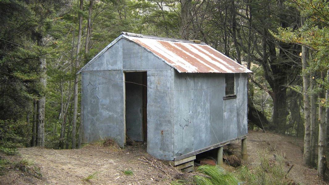
Sawyer Burn Hut is a public hut located in the Otago region. It is owned by Hunter Valley Station but remains open to the public.
Hawkshead
Otago • 9.6 km

Big Hopwood Burn Hut
Basic/bivvies • 1 bunks • Otago • 10.2 km
Big Hopwood Burn Hut is a basic single-bunk hut located in the Wanaka/Makarora area of Otago.
Heating • Mattresses • Toilets - non-flush
Walks nearby
Notes from people who have been
No notes yet. If you have been, say what you found.
Something missing or out of date?
Closed, moved, wrong facts, or something we have missed? Travellers keep the Road Guide up to date. Tell us what you found at contribute@parkup.nz and we will check it and add it.
Ask us to take this down
A person reads every request. We do not remove a place until we have checked it.
Sources
- DOC Tracks (API) · CC BY 4.0Crown Copyright: Department of Conservation Te Papa Atawhai. Data sourced from the DOC Developer Portal (api.doc.govt.nz).
- DOC Tracks & Trails · CC BY 4.0Data sourced from the Department of Conservation (DOC), New Zealand.