Belltown Manunui Hut
Standard hutKahurangi National Park, West CoastOpen
- Sleeps
- 10 bunks
- Booking
- Not bookable
- Cost
- from $15
- Heating
- Yes
- Drinking water
- Boil first
- Toilet
- Non-flush
Getting there
We have not checked a road end or car park for this place yet, so we do not give driving directions to it. Check how to get there before you go. Some routes cross private land and need the landowner's permission.
How to get there, on doc.govt.nz- Topo map
- Topo50 sheet BQ24
- Grid reference
- E1535331 N5422424
Source: DOC Te Papa Atawhai.
Map and tracks
Track lines: DOC Te Papa Atawhai. Map data © OpenStreetMap contributors. Topo map: LINZ, CC BY 4.0. 41.34708° S, 172.22699° E
About this place
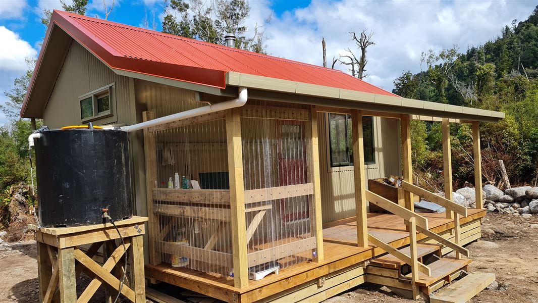
This is a standard 10-bunk hut in the Buller area.
On the way here
Wangapeka Track · 4 - 6 days one way
Taipo Hut to Belltown Manunui Hut
Time: 7 hr
11.2 km The route gradually gets steeper towards Stag Flat Bivvy which is adjacent to the route. From the bivvy the route winds steeply up to the Little Wanganui Saddle, the highest point on the route (1,087 m); snow can be a problem here during winter. It then passes Saddle Lakes and drops steeply to the Little Wanganui River. Just prior to crossing to the true right via a swing bridge, a signposted side-track leads to Little Wanganui Gorge Shelter , 150 m from the main track. After crossing the swing bridge the route continues to Tangent Creek, then climbs above the river and sidles around the gorge, returning to the river at Smith Creek. McHarrie Creek (between Tangent and Smith Creeks) is unbridged and cannot be crossed during high rainfall. A little further downstream the route leads to a junction on the right where Belltown Manunui Hut is set back 60 m from the main track. There is a large slip about 2 km upstream of the Belltown/Manunui Hut. Approximately 60 m of track has been buried and this may be difficult to navigate in wet conditions.
Belltown Manunui Hut to Wangapeka Road car park
Time: 4 hr
km After leaving the hut, the route continues for another 1 km, crosses the Lawrence Stream swing bridge, then passes over a large grassy clearing known as Gilmor Clearing. The route then heads away from the river, following an old access road for approximately 3 km before heading back toward the Little Wanganui River. It is a further 4 km to the end of the route at the Wangapeka Road car park. The section of route between the Little Wanganui Saddle and Wangapeka road-end is often the most affected by adverse weather. Due to damaging cyclones in 2014, 2015 and 2018 expect windfallen trees and slips which can be difficult to negotiate, users should be fit and experienced to deal with these conditions, and take care when crossing damaged areas. Note: These slips also affect the Leslie/Karamea Track as it shares two entry/exit points with the Wangapeka.
Source: DOC Te Papa Atawhai.
Trip options
Walking times come from DOC track descriptions, added up leg by leg from car-accessible trailheads. Nights and return times are ParkUp estimates, allowing about 8 hours of walking a day.
2 options · 3 nights
Rolling River car park
Walking in
20 hr 30 min (via Kings Creek Hut, Stone Hut, Helicopter Flat Hut, Taipo Hut)
Walking out
4 hr to Wangapeka Road car park
Walking in
20 hr 30 min (via Kings Creek Hut, Stone Hut, Helicopter Flat Hut, Taipo Hut)
Walking out
20 hr 30 min to Rolling River car park (via Kings Creek Hut, Stone Hut, Helicopter Flat Hut, Taipo Hut)
Source: DOC Te Papa Atawhai track descriptions.
Fees and bookings
Before you go, buy Hut Tickets for each night's stay. Put these in the honesty box at the hut. Or buy a Backcountry Hut Pass that gives unlimited use at most Standard and Serviced huts for a 12 month period. Retailers that sell hut tickets and passes
Source: DOC Te Papa Atawhai.
Nearby stops
Stag Flat Shelter
Basic/bivvies • 2 bunks • West Coast • 7.9 km
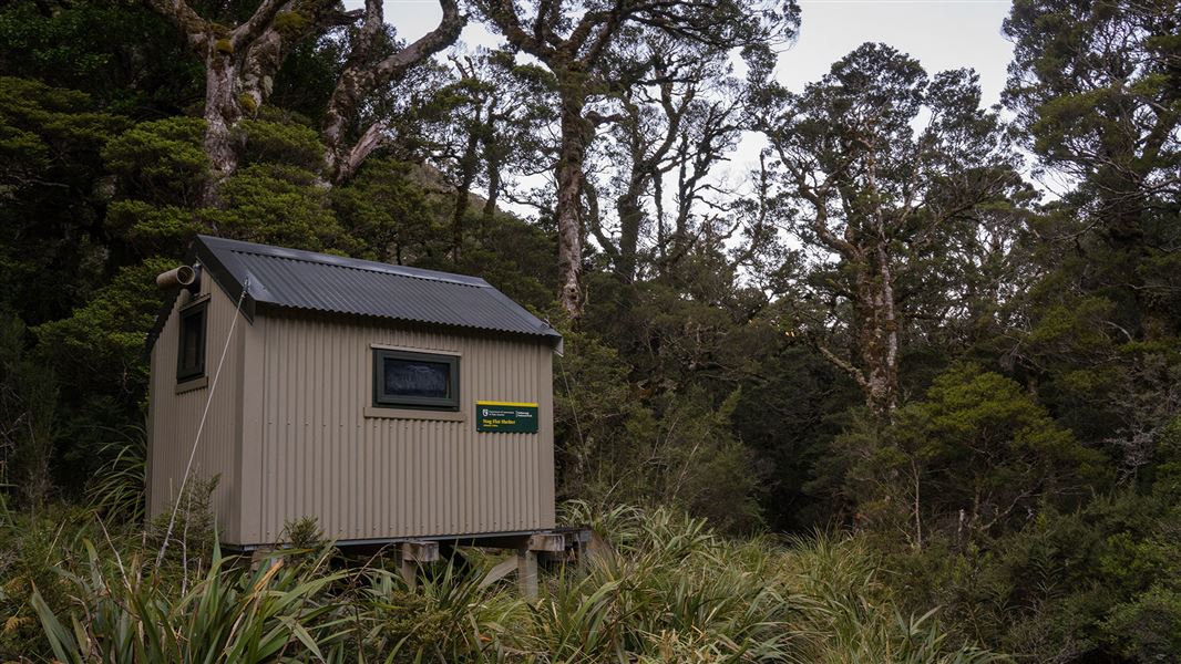
Stag Flat Shelter is a basic two-bunk hut located in the Motueka area.
Mattresses • Toilets - non-flush • Water from tap - not treated, boil before use
Taipo Hut
Standard • 16 bunks • West Coast • 9.2 km
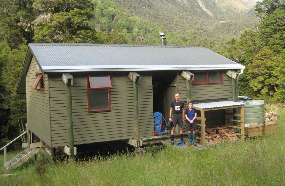
Taipo Hut is a standard 16-bunk hut located in the Motueka area of the Nelson/Tasman region.
Heating • Mattresses • Toilets - non-flush
Helicopter Flat Hut
Standard • 10 bunks • West Coast • 13.6 km
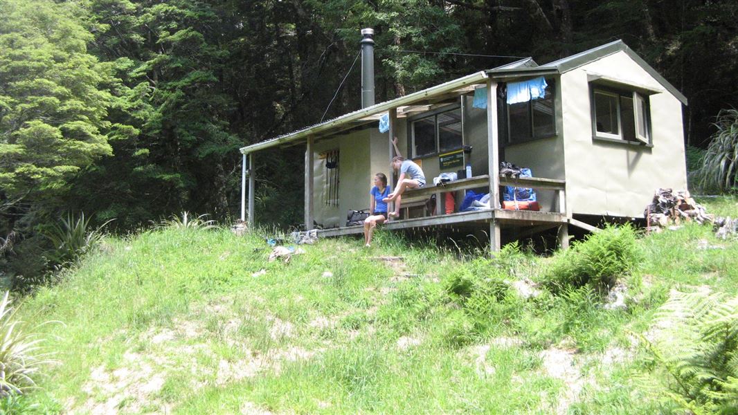
Helicopter Flat Hut is a standard 10-bunk hut located in the Motueka area.
Heating • Mattresses • Toilets - non-flush
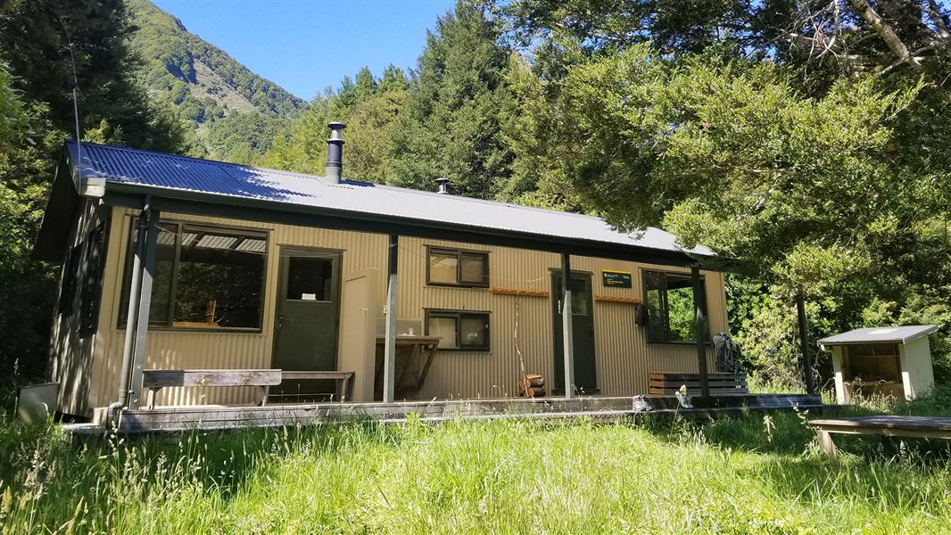
Trevor Carter Hut
Standard • 12 bunks • West Coast • 14.8 km
Trevor Carter Hut is a standard 12-bunk hut located in the Motueka area of the Nelson/Tasman region.
Heating • Mattresses • Toilets - non-flush
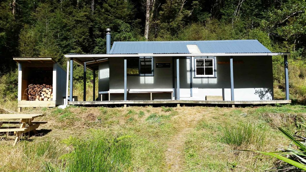
Stone Hut
Standard • 10 bunks • Tasman • 19.5 km
Stone Hut is a standard 10-bunk hut located in the Motueka area of the Tasman region.
Heating • Mattresses • Toilets - non-flush
Contact
Nelson/Tasman/Marlborough information
Regional DOC service centre.
Notes from people who have been
No notes yet. If you have been, say what you found.
Something missing or out of date?
Closed, moved, wrong facts, or something we have missed? Travellers keep the Road Guide up to date. Tell us what you found at contribute@parkup.nz and we will check it and add it.
Ask us to take this down
A person reads every request. We do not remove a place until we have checked it.
Sources
- DOC Huts · CC BY 4.0Data sourced from the Department of Conservation (DOC), New Zealand.
- DOC Huts (API) · CC BY 4.0Crown Copyright: Department of Conservation Te Papa Atawhai. Data sourced from the DOC Developer Portal (api.doc.govt.nz).
- OpenStreetMap Huts · ODbL (Open Database License)Contains information from OpenStreetMap, made available under the ODbL.