Aparima Hut to Princhester Saddle Track
WalkSouthlandOpen
- Grade
- Advanced
- Walking time
- 5 hr
- Distance
- 11.5 km
- Dogs
- No dogs
Getting there
We have not checked a road end or car park for this place yet, so we do not give driving directions to it. Check how to get there before you go. Some routes cross private land and need the landowner's permission.
How to get there, on doc.govt.nzThis track can be accessed from the the Aparima River Track or the Princhester Saddle Route.
Source: DOC Te Papa Atawhai.
Map
Map data © OpenStreetMap contributors. Topo map: LINZ, CC BY 4.0. 45.66192° S, 168.00019° E
About this place
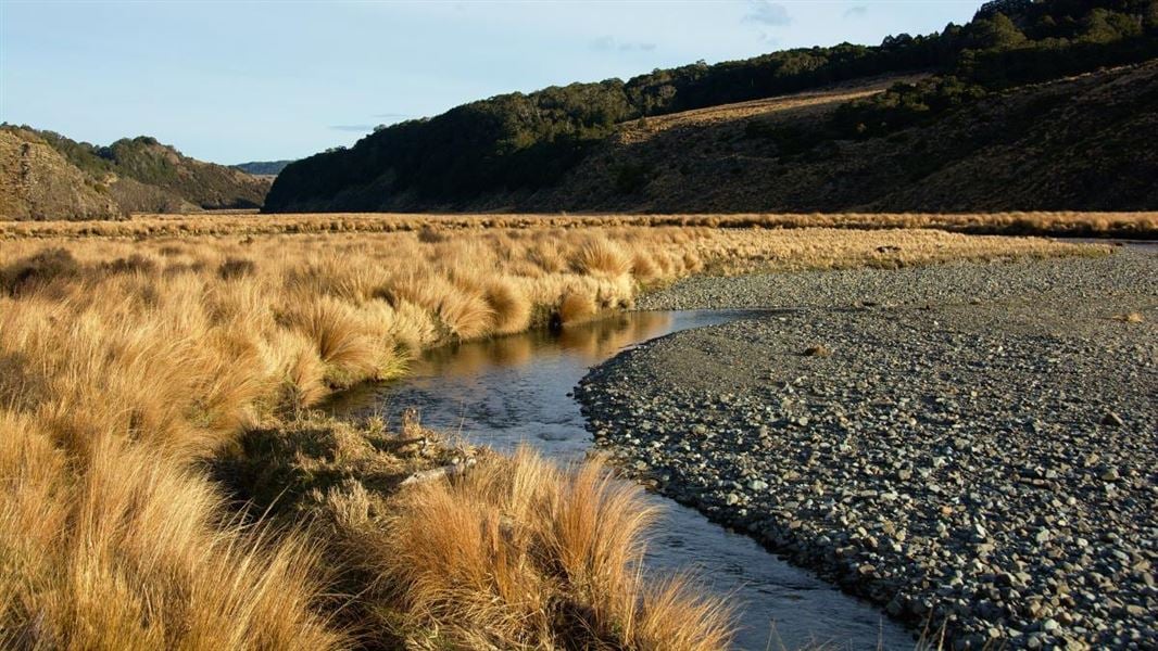
From Aparima Huts, this track travels up the Waterloo Burn to the Princhester Saddle Route, passing Becketts Hut.
The route
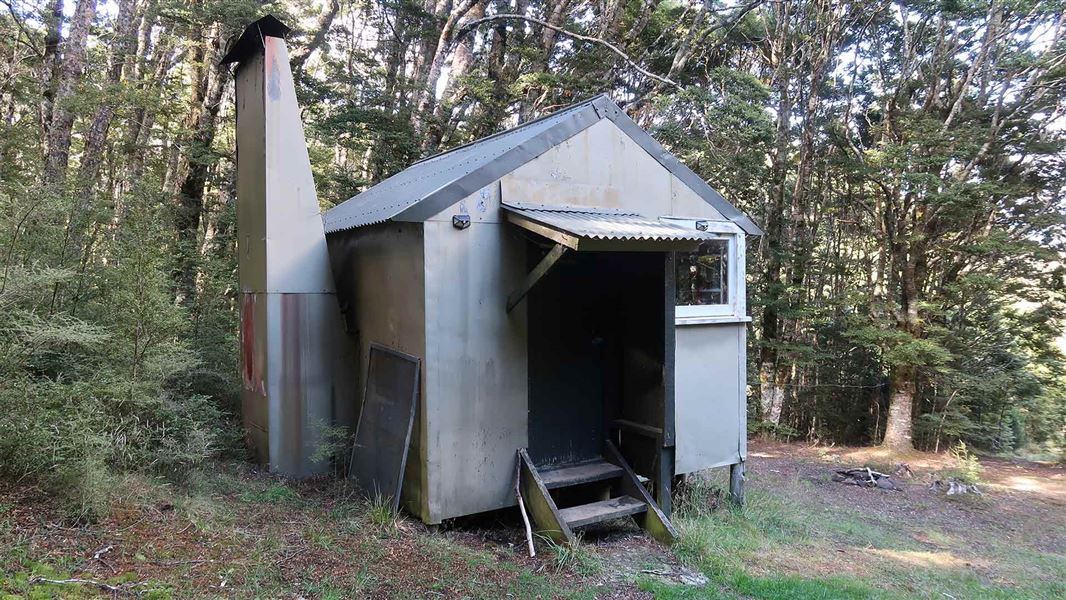
Becketts Hut is sited just inside the forest edge at the top of a small tussock clearing, on the true left of the Waterloo Burn. Note: the floor of the Waterloo Burn valley is part of Waterloo Station.
Source: DOC Te Papa Atawhai.
Nearby stops
Aparima - Tony's Hut
Basic/bivvies • 4 bunks • Southland • 5.1 km
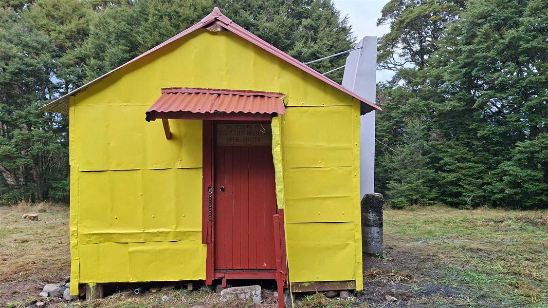
Aparima - Tony's Hut is a basic four-bunk hut located next to Aparima Hut in Southland.
Aparima Hut
Standard • 12 bunks • Southland • 5.1 km
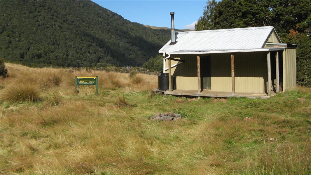
Aparima Hut is a standard 12-bunk hut located in the Southland region.
Heating • Mattresses • Toilets - non-flush
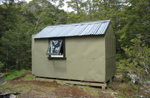
Aparima Forks Hut
Basic/bivvies • 2 bunks • Southland • 5.6 km
Aparima Forks Hut is a basic two-bunk hut located in the Southland region.
Heating • Mattresses • Toilets - non-flush
Upper Princhester Hut
Basic/bivvies • 2 bunks • Southland • 8.1 km
Upper Princhester Hut is a basic two-bunk hut located in the Southland region.
Heating • Mattresses • Toilets - non-flush

Lower Princhester Hut
Standard • 6 bunks • Southland • 8.5 km
Lower Princhester Hut is a standard six-bunk hut located in the Southland region.
Heating • Mattresses • Toilets - non-flush
Walks nearby
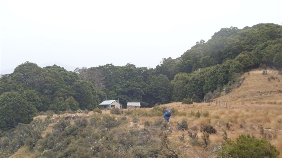
Princhester Saddle Route
Expert • 6 hr • 16 km • 2.25 km away
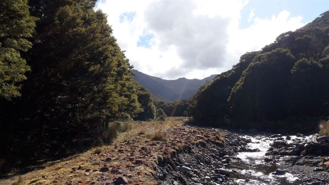
Aparima Huts/Spence Burn Junction Route
Expert • 1 hr • 5 km • 4.15 km away
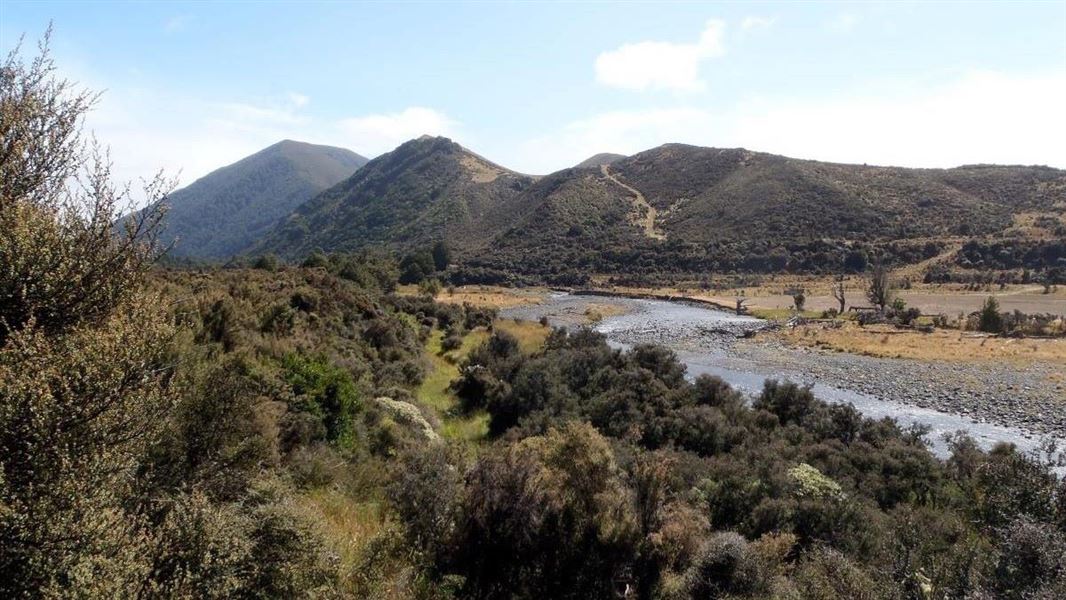
Upper Aparima/Spence Burn Route
Expert • 1 hr 15 min for Aparima Forks Hut, 3 hr for Spence Hut • 4 km to Aparima Forks Hut, 7 km to Spence Hut • 6.65 km away
Aparima River Track
Advanced • 2 hr • 6 km • 7.09 km away
Lower Wairaki Hut to Upper Wairaki Hut Route
Expert • 4 hr • 8.5 km • 11.1 km away
Notes from people who have been
No notes yet. If you have been, say what you found.
Something missing or out of date?
Closed, moved, wrong facts, or something we have missed? Travellers keep the Road Guide up to date. Tell us what you found at contribute@parkup.nz and we will check it and add it.
Ask us to take this down
A person reads every request. We do not remove a place until we have checked it.
Sources
- DOC Tracks & Trails · CC BY 4.0Data sourced from the Department of Conservation (DOC), New Zealand.
- DOC Tracks (API) · CC BY 4.0Crown Copyright: Department of Conservation Te Papa Atawhai. Data sourced from the DOC Developer Portal (api.doc.govt.nz).