Ahuriri Valley Track
WalkCanterburyOpen
- Grade
- Advanced
- Walking time
- 6 hr
- Distance
- 14.5 km
- Biking time
- Under 4 hours
- Dogs
- Under control
Access: read before you go
Birchwood Road runs for 21 km up to the park boundary, however Waitaki District Council only maintain it as far as Ben Avon ponds. From there a high clearance 4WD vehicle is required 16 km up to the road end.
Source: DOC Te Papa Atawhai.
Getting there
We have not checked a road end or car park for this place yet, so we do not give driving directions to it. Check how to get there before you go. Some routes cross private land and need the landowner's permission.
How to get there, on doc.govt.nzAccess to the park is via Birchwood Road which leaves SH 8 about 17 km west of Omarama township.
Birchwood Road runs for 21 km up to the park boundary, however Waitaki District Council only maintain it as far as Ben Avon ponds. From there a high clearance 4WD vehicle is required 16 km up to the road end.
Source: DOC Te Papa Atawhai.
Map
Map data © OpenStreetMap contributors. Topo map: LINZ, CC BY 4.0. 44.18712° S, 169.63517° E
About this place
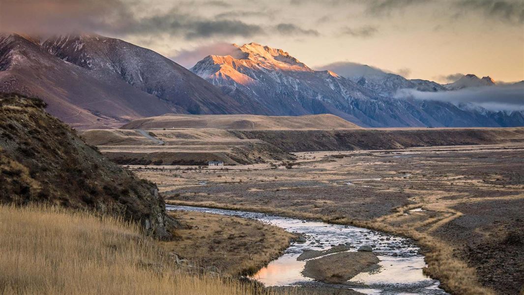
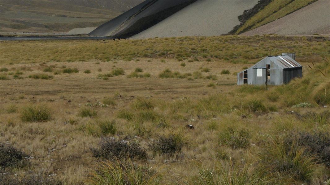
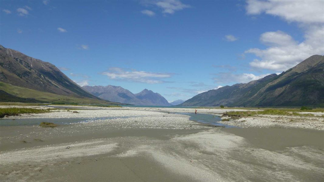
This track follows the Ahuriri River. Three huts on route provide several options.
The route
Birchwood Road end to Shamrock Hut
Time: 2 hr one way
km The track to Shamrock Hut is generally well-formed but you will need to cross Canyon Creek on the way. There may be the odd washed-out ford to negotiate.
Shamrock Hut to Hagens Hut
Time: 2 hr one way
km After Shamrock Hut the track descends towards Ahuriri River. To avoid crossing the river, hug the true right riverbank and make your own way to the hut - there is no formed track. Otherwise, cross the river and use the a well-formed track on the true left of the river. You will need to cross the Ahuriri River again to reach Hagens Hut.
Hagens Hut to Top Hut
Time: 2 hr one way
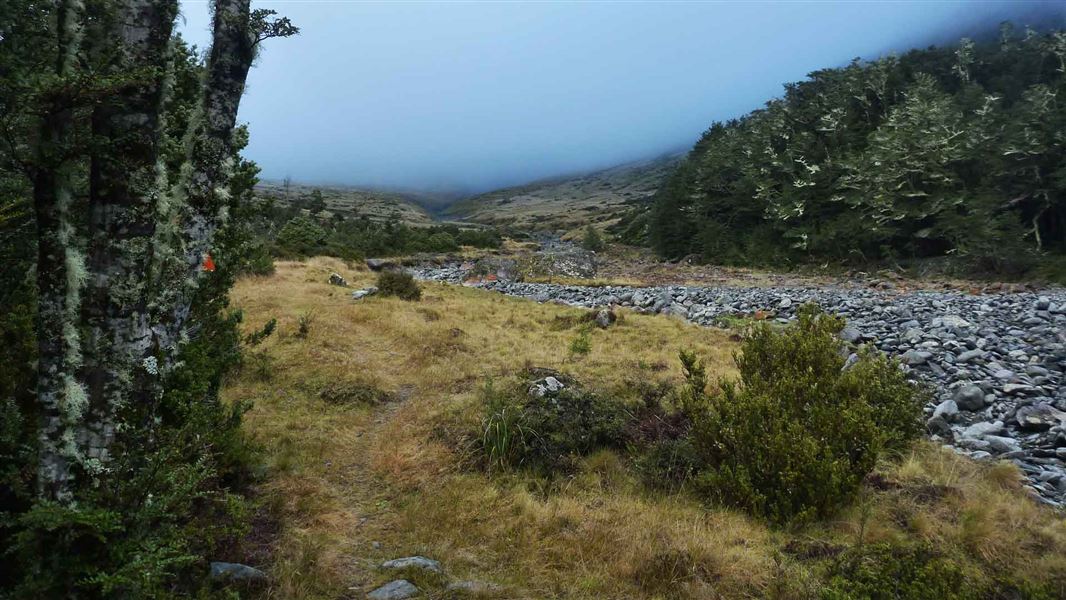
4.5 km The track is a bit rougher to Top Hut. In good conditions trampers can cross the range into South Huxley Valley or South Temple Valley.
Birchwood Road end to Shamrock Hut
Time: 1 - 2 hr
Track category: Intermediate/Grade 3 km You may need to cross Canyon Creek on foot if high river flow. From there the riding is good until you get to a washed out creek bed. You will need to lower your bike down a small bank to cross the often dry creekbed. It is easy riding again from the creekbed to Shamrock Hut.
Shamrock Hut to Hagens Hut
Time: 1 - 2 hr
Track category: Intermediate/Grade 3 km From Shamrock Hut the track descends gently to Ahuriri River. Look out for marker poles on the other side of the river (true left). You need to cross the river and pick up the good track that is marked on the river flats. You then need to cross the river once again to reach Hagens Hut. Some mountain bikers do carry on to Top Hut (2 hr ride) but it requires a bit of bike pushing as there is no well-formed track. This is a shared-use track. Follow the mountain bikers code : respect others, respect the rules, respect the track.
Horse riding
The Ahuriri Valley is suitable for horse riding from the start of the 4WD track. Easy access makes the valley a good venue.
Source: DOC Te Papa Atawhai.
Know before you go
Check the flow of the Ahuriri River
Check the flow of the river if you intend to cross before you go: Ahuriri River flow . It is safe to cross when the flow is 18 cubic metres per second (cumecs) or less.
Stay safe when crossing rivers and streams
If you plan to cross unbridged rivers or side streams, know how to cross safely and be prepared for if you cannot cross. Do not cross if the river or stream is flooded, you cannot find safe entry and exit points or are unsure it’s safe. Turn back or wait for the river to drop. If in doubt, stay out. How to cross rivers safely NIWA river flow forecasts: View a video of national followed by regional river flows
Source: DOC Te Papa Atawhai.
On this track
In walking order.



Nearby stops

Bull Flat Hut
Basic/bivvies • 2 bunks • Otago • 8.4 km
Bull Flat Hut is a basic two-bunk hut located in the Wanaka and Makarora area of Otago.
Heating • Mattresses • Toilets - non-flush

Maitland Hut
Standard • 4 bunks • Canterbury • 9.2 km
Maitland Hut is a standard four-bunk hut located in Ruataniwha Conservation Park in Canterbury.
Heating • Mattresses • Toilets - non-flush
Scrubby Hut
Otago • 9.8 km
Ahuriri Base Hut
Standard • 6 bunks • Canterbury • 9.9 km
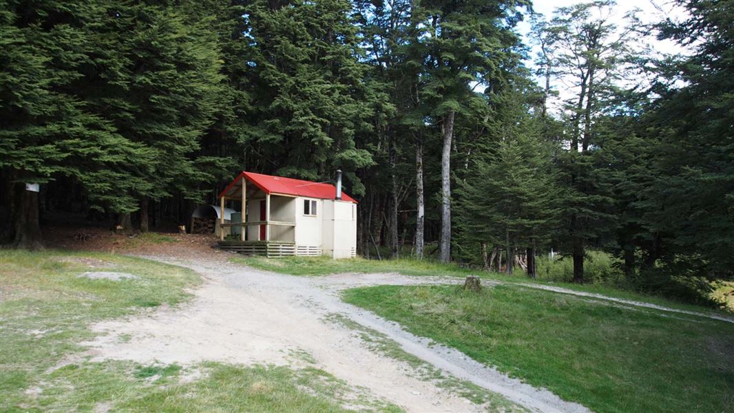
Ahuriri Base Hut is a standard six-bunk hut located in the Mackenzie Country and Waitaki area of Canterbury.
Heating • Mattresses • Toilets - non-flush

Ferguson Hut
Standard • 4 bunks • Otago • 10.1 km
Ferguson Hut is a standard four-bunk hut located in the Wanaka/Makarora area of Otago.
Heating • Mattresses • Toilets - non-flush
Walks nearby
Notes from people who have been
No notes yet. If you have been, say what you found.
Something missing or out of date?
Closed, moved, wrong facts, or something we have missed? Travellers keep the Road Guide up to date. Tell us what you found at contribute@parkup.nz and we will check it and add it.
Ask us to take this down
A person reads every request. We do not remove a place until we have checked it.
Sources
- DOC Tracks (API) · CC BY 4.0Crown Copyright: Department of Conservation Te Papa Atawhai. Data sourced from the DOC Developer Portal (api.doc.govt.nz).
- DOC Tracks & Trails · CC BY 4.0Data sourced from the Department of Conservation (DOC), New Zealand.